
River Market in Kansas City in Jackson County, Missouri — The American Midwest (Upper Plains)
Burns & McDonnell
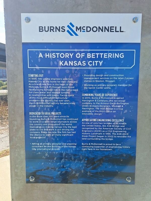
A History of Bettering Kansas City
Photographed by Jason Voigt, October 20, 2026
1. A History of Bettering Kansas City Marker

Starting Out
In 1898, two young engineers selected Kansas City as the home for their company. As a brand new firm in the heart of the Midwest, Burns & McDonnell soon found itself playing a major role in the rising need for clean water and sewage systems in nearby cities and towns. Facing some of the most difficult infrastructure problems the country has ever seen, Burns & McDonnell quickly became a key player in the industry.
Dedicated to Local Projects
In the more than 100 years since its founding, Burns & McDonnell has continued to work on a wide range of projects across the country and throughout the world. Dedication to making Kansas City the best place to live and work is still driving the company. Since day one, the firm has had the chance to work on many significant local projects.
• Acting as primary designer and planning consultant on the building of the Kansas City International Airport.
• Providing design and construction management services on the latan 2 power station in Weston, Missouri.
• Working as primary program manager for the Sprint Center arena.
Combining Years of Experience
In
this page online
Appreciating Engineering Excellence
As one of only two bridges of its kind in the United States, the ASB Bridge was recognized by the American Society of Civil Engineers (ASCE) as a Civil Engineering Historic Landmark in 1996. The ASB-ASCE Kiosk Project began in 2002 to renovate the land surrounding the bridge.
Topics. This historical marker is listed in these topic lists: Bridges & Viaducts • Industry & Commerce. A significant historical year for this entry is 1898.
Location. 39° 6.871′ N, 94° 34.792′ W. Marker is in Kansas City, Missouri, in Jackson County. It is in River Market. It can be reached from East Levee Road. Marker is located on the Riverfront Heritage Trail, near the ASB Bridge. Touch for map. Marker is at or near this postal address: 200 E Levee Rd, Kansas City MO 64106, United States of America. Touch for directions.

Regionally, this marker is in the American Midwest, in the Lewis
Photographed by Jason Voigt, October 20, 2026
2. Burns & McDonnell Marker
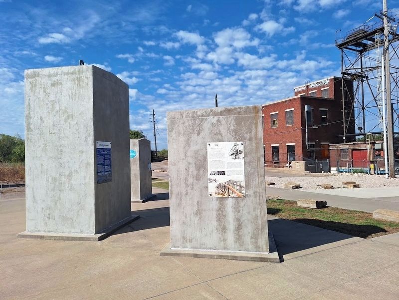
Marker is with several other markers on kiosks near the ASB Bridge.
Other nearby markers. At least 8 other markers are within walking distance of this marker: Taliaferro & Browne, Inc. (here, next to this marker); HDR, Inc. (here, next to this marker); Building Through the Bluffs (approx. ¼ mile away); Gilliss House Hotel (approx. ¼ mile away); From Steamboat Landing to City (approx. ¼ mile away); Hannibal Bridge (approx. ¼ mile away); Waterfront Town to Metropolis (approx. ¼ mile away); Moving Hearts & Minds (approx. 0.3 miles away). Touch for a list and map of all markers in Kansas City.
Also see . . . Burns & McDonnell (official website). (Submitted on November 21, 2026, by Jason Voigt of Glen Carbon, Illinois.)
Photographed by Jason Voigt, October 20, 2026
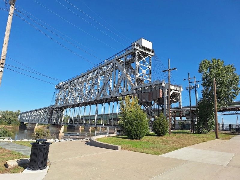
3. ASB (Armour-Swift-Burlington) Bridge
Marker is near this bridge, on the Riverfront Heritage Trail
Credits. This page was last revised on November 21, 2026. It was originally submitted on November 21, 2026, by Jason Voigt of Glen Carbon, Illinois. Photos: 1, 2, 3. submitted on November 21, 2026, by Jason Voigt of Glen Carbon, Illinois.
