
Las Cruces in Doña Ana County, New Mexico — The American Mountains (Southwest)
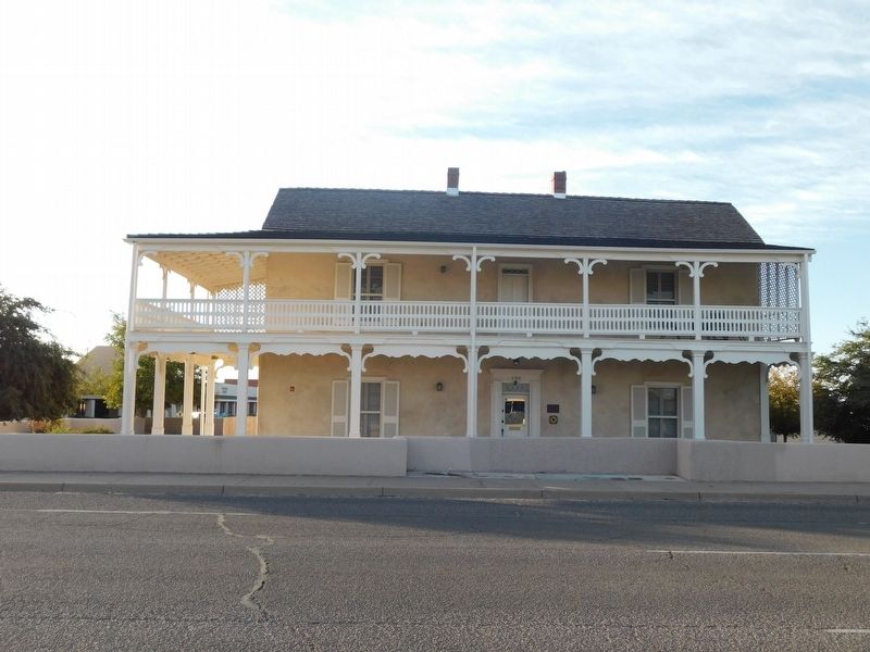
Nestor Armijo House
Photographed by Jimmy Emerson, November 13, 2026
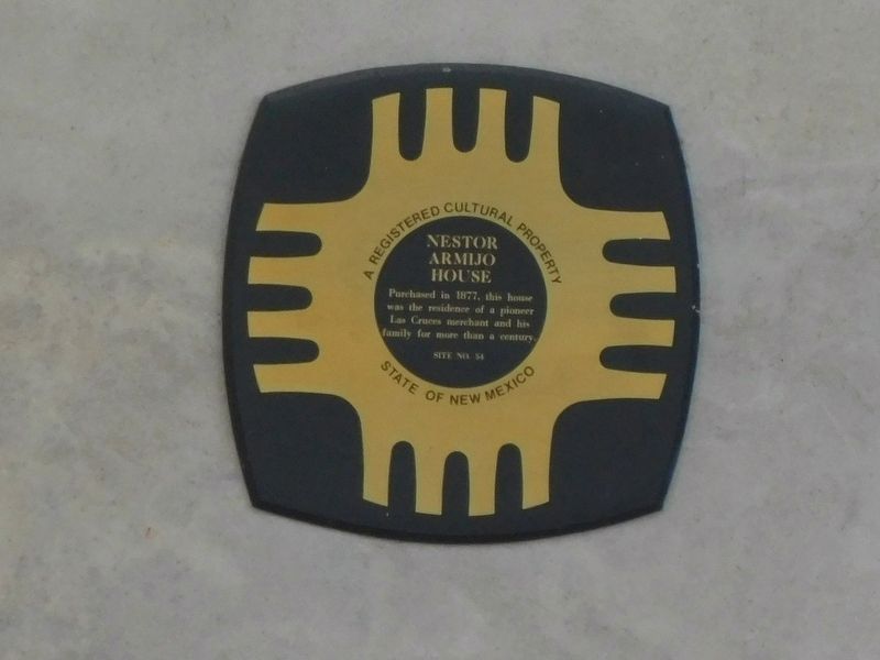
1. Nestor Armijo House Marker
 Purchased in 1877, this house
was the residence of a pioneer
Las Cruces merchant and his
family for more than a century.
(Marker Number 54.)
Topics and series. This historical marker is listed in this topic list: Notable Buildings. In addition, it is included in the New Mexico, Historical Society of New Mexico series list. A significant historical year for this entry is 1877.
Location. 32° 18.378′ N, 106° 46.604′ W. Marker is in Las Cruces, New Mexico, in Doña Ana County. It is at the intersection of East Lohman Avenue and S Church Street, on the right when traveling east on East Lohman Avenue. Touch for map. Marker is at or near this postal address: 150 E Lohman Avenue, Las Cruces NM 88001, United States of America. Touch for directions.

Regionally, this marker is in the New Mexico’s Rio Grande Valley. It is also in the American Borderlands and in the Southwest. Globally, it is in North America, the Western Hemisphere, the Western World, and the Anglosphere. Historically, it finds itself in what was once New Spain, the Gadsden Purchase, and the Republic of Texas.
Other nearby markers. At least 8 other
this page online
Also see . . . National Register Nomination Form. Excerpt:
The Nestor Armijo House, erected during the 1870's in Las Cruces, county seat of Dona Ana County and southern New Mexico's most important city, was the residence of one of the leading businessmen and ranchers of that area at the end of the 19th century. Founded in approximately 1850, Las Cruces was located near the southern end of the dreaded 100-mile jornada del muerto (“journey of the dead man”), a particularly fearsome stretch of southern New Mexico desert over which the Spanish Conquistadores of the late 16th and 17th centuries blazed the road from northern New Spain(Submitted on November 22, 2026, by Jimmy Emerson of Dalton, Georgia.)to New Mexico which became the Camino Real (Royal Road), the single route connecting New Mexico with Mexico. Named for the cluster of crosses which marked the graves of some 40 victims of an 1830 Apache raid, Las Cruces grew in importance after the U.S. Army post of Fort Fillmore was established a few miles to the soutl: At the time of U.S. occupation of New Mexico in 1846, Colonel A.W. Doniphan decisively defeated 1300 Mexican troops under General Ponce de Leon on Christmas Day at nearby Brazito, the only battle of the Mexican War to be fought on New Mexico soil.Photographed by Jimmy Emerson, November 13, 20262. Nestor Armijo House & Marker
Photographed by Jimmy Emerson, November 13, 2026
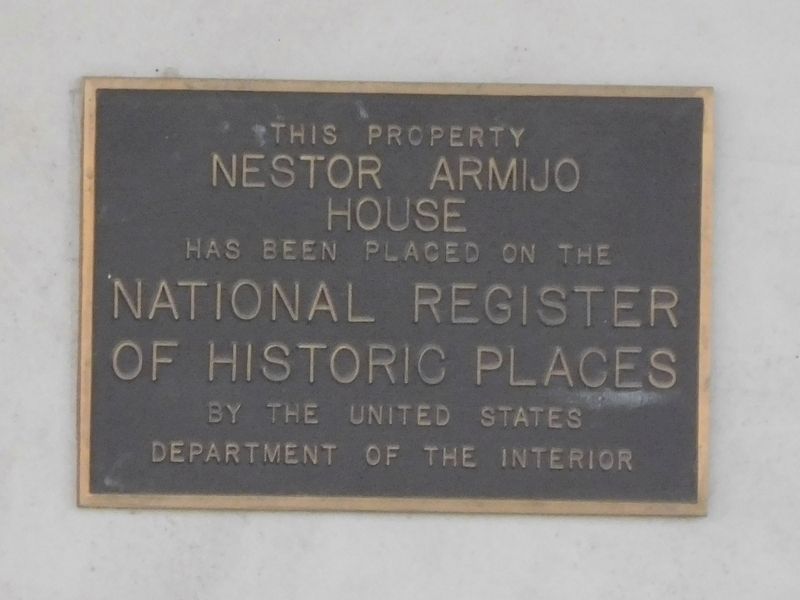
3. Nestor Armijo House National Register Marker
Credits. This page was last revised on November 22, 2026. It was originally submitted on November 22, 2026, by Jimmy Emerson of Dalton, Georgia. This page has been viewed 2 times since then. Photos: 1, 2, 3. submitted on November 22, 2026, by Jimmy Emerson of Dalton, Georgia. • Andrew Ruppenstein was the editor who published this page.
