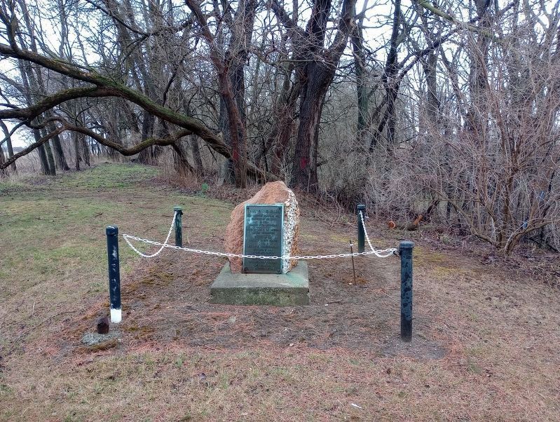
Near Green Springs in Sandusky County, Ohio — The American Midwest (Great Lakes)
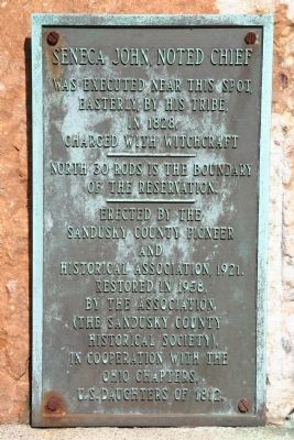
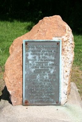
Seneca John, Noted Chief
was executed near this spot,
easterly, by his tribe,
in 1828,
charged with witchcraft
—
North 30 rods is the boundary
of the reservation.
Erected 1921 by Sandusky County Pioneer and Historical Association.
Topics. This historical marker is listed in this topic list: Native Americans. A significant historical year for this entry is 1828.
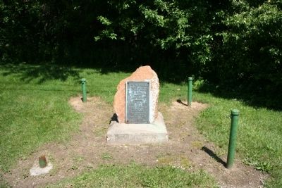
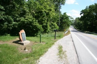
Location. 41° 16.909′ N, 83° 3.134′ W. Marker is near Green Springs, Ohio, in Sandusky County. Marker is on Ohio Route 19, half a mile south of Limerick Road, on the left when traveling south. This historical marker is located midway between US 20 and Green Springs, Ohio, on the east side of State Route 19. Touch for map. Marker is at or near this postal address: 2233 State Route 19, Green Springs OH 44836, United States of America. Touch for directions.
Other nearby markers. At least 8 other markers are within 4 miles of this marker, measured as the crow flies. Green Springs Revolutionary War Memorial (approx. 1.6 miles away); Green Springs Veterans Memorial (approx. 1.6 miles away); Home of Allen Watrous (approx. 1.7 miles away); Veterans Memorial (approx. 1.8 miles away); a different marker also named Green Springs Veterans Memorial (approx. 1.9 miles away); a different marker also named Veterans Memorial (approx. 2.9 miles away); a different marker also named Veterans Memorial (approx. 3.2 miles away); Korean War Memorial Bench (approx. 3.2 miles away). Touch for a list and map of all markers in Green Springs.
Credits. This page was last revised on April 1, 2023. It was originally submitted on June 10, 2010, by Dale K. Benington of Toledo, Ohio. This page has been viewed 1,821 times since then and 120 times this year. Last updated on March 30, 2023, by Craig Doda of Napoleon, Ohio. Photos: 1, 2, 3, 4. submitted on June 10, 2010, by Dale K. Benington of Toledo, Ohio. 5. submitted on March 27, 2023, by Craig Doda of Napoleon, Ohio. • J. Makali Bruton was the editor who published this page.
