Fremont in Sandusky County, Ohio — The American Midwest (Great Lakes)
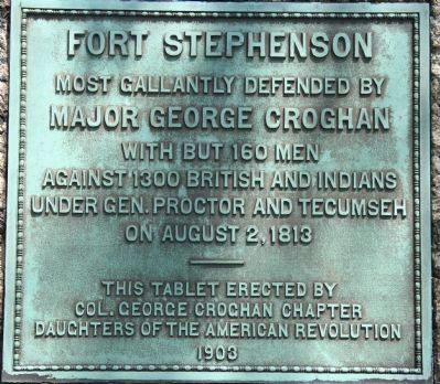
Fort Stephenson
Major George Croghan
With but 160 men
Against 1300 British and Indians
Under Gen. Proctor and Tecumseh
On August 2, 1813
Erected 1903 by Col. George Croghan Chapter, Daughters of the American Revolution.
Topics and series. This memorial is listed in these topic lists: Forts and Castles • Native Americans • War of 1812. In addition, it is included in the Daughters of the American Revolution series list. A significant historical year for this entry is 1300.
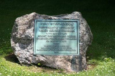
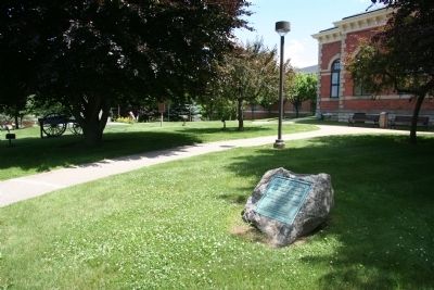
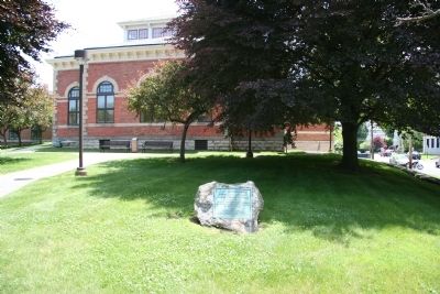
Location. 41° 20.768′ N, 83° 6.947′ W. Marker is in Fremont, Ohio, in Sandusky County. Memorial is on Croghan Street east of High Street, on the right when traveling east. This historical marker is located in the downtown area of Fremont, affixed to a rock, in the northwest section of the front yard of the Birchard Public Library. Touch for map. Marker is at or near this postal address: 485 Croghan Street, Fremont OH 43420, United States of America. Touch for directions.
Other nearby markers. At least 8 other markers are within walking distance of this marker. A different marker also named Fort Stephenson (a few steps from this marker); Old Betsy (within shouting distance of this marker); Soldier's Monument (within shouting distance of this marker); Emerson Camp No. 53 (about 300 feet away, measured in a direct line); Flag Memorial Park (about 400 feet away); Fremont (about 400 feet away); Near This Spot (about 400 feet away); Minnie Louise Failing Home (about 400 feet away). Touch for a list and map of all markers in Fremont.
Photographed By Dale K. Benington, June 7, 2010
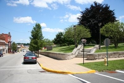
5. Fort Stephenson Marker
View looking east of Croghan Street. The Birchard Public Library, where the historical marker is located (and where Fort Stephenson was located) is up just beyond the steps to the left, and at the end of Croghan Street is the Sandusky River, where the British gunboats that fired on Fort Stephenson where located.

Photographed By Dale K. Benington, June 7, 2010
6. Fort Stephenson Marker
View looking southeast at the intersection of Croghan and High Streets. The northwest corner of the library property can be seen and the historical marker affixed to a rock is visible just to the right of the library's walkway.
Credits. This page was last revised on November 8, 2021. It was originally submitted on June 11, 2010, by Dale K. Benington of Toledo, Ohio. This page has been viewed 1,268 times since then and 34 times this year. Photos: 1, 2, 3, 4, 5, 6. submitted on June 11, 2010, by Dale K. Benington of Toledo, Ohio.
