Fayetteville in Lincoln County, Tennessee — The American South (East South Central)
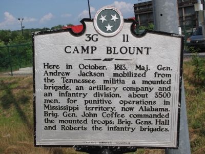
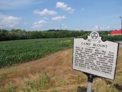
Camp Blount
Erected by Tennessee Historical Commission. (Marker Number 3G 11.)
Topics and series. This historical marker is listed in these topic lists: Military • War of 1812. In addition, it is included in the Former U.S. Presidents: #07 Andrew Jackson, and the Tennessee Historical Commission series lists. A significant historical month for this entry is October 1813.
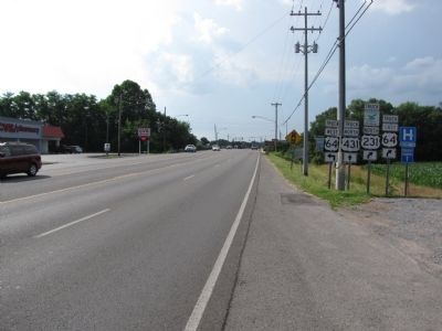
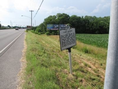
Location. 35° 8.483′ N, 86° 34.1′ W. Marker is in Fayetteville, Tennessee, in Lincoln County. Marker is on Huntsville Highway (U.S. 231/431) 0.1 miles south of Wilson Parkway/Thornton Taylor Parkway (Bypass U.S. 64), on the right when traveling north. Touch for map. Marker is in this post office area: Fayetteville TN 37334, United States of America. Touch for directions.
Other nearby markers. At least 8 other markers are within walking distance of this marker. Camp Blount Historic Site (about 600 feet away, measured in a direct line); Sam Houston (about 600 feet away); Andrew Jackson (about 600 feet away); David "Davy" Crockett (about 600 feet away); Carrying Fire and Sword (about 600 feet away); About the Sculpture / About the Artist (about 600 feet away); a different marker also named Andrew Jackson (about 700 feet away); The War of 1812 (about 700 feet away). Touch for a list and map of all markers in Fayetteville.
Credits. This page was last revised on June 16, 2016. It was originally submitted on June 12, 2010, by Lee Hattabaugh of Capshaw, Alabama. This page has been viewed 1,153 times since then and 31 times this year. Photos: 1, 2, 3, 4. submitted on June 12, 2010, by Lee Hattabaugh of Capshaw, Alabama. • Syd Whittle was the editor who published this page.


