Near Plymouth in Sheboygan County, Wisconsin — The American Midwest (Great Lakes)
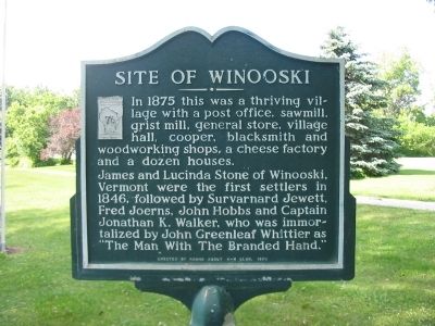
Site of Winooski
Photographed by K. Linzmeier, June 9, 2010
1. Site of Winooski Marker
In 1875 this was a thriving village with a post office, sawmill, grist mill, general store, village hall, cooper, blacksmith and woodworking shops, a cheese factory and a dozen houses.
James and Lucinda Stone of Winooski, Vermont were the first settlers in 1846, followed by Survarnard Jewett, Fred Joerns, John Hobbs and Captain Jonathan K. Walker, who was immortalized by John Greenleaf Whittier as "The Man With The Branded Hand."
Erected 1970 by the Round About 4-H Club. (Marker Number 76.)
Topics. This historical marker is listed in this topic list: Settlements & Settlers. A significant historical year for this entry is 1875.
Location. 43° 42.423′ N, 87° 59.039′ W. Marker is near Plymouth, Wisconsin, in Sheboygan County. It is on Winooski Road 0.3 miles east of County Highway E, on the left when traveling east. Marker is located just east of the Onion River near a residential driveway. Touch for map. Marker is at or near this postal address: W5762 Winooski Road, Plymouth WI 53073, United States of America. Touch for directions.

Regionally, this marker is in Wisconsin’s Fox River Valley. It is also in
this page online
Other nearby markers. At least 8 other markers are within 9 miles of this marker, measured as the crow flies: Plymouth Wisconsin (approx. 2.8 miles away); In Honor of our Pioneers (approx. 3.6 miles away); Old Wade House State Park (approx. 6.9 miles away); Hamill's Hollow (approx. 7.8 miles away); Schoolhouse Straight (approx. 7.8 miles away); Kimberly's Korner (approx. 8 miles away); Kettle Lake (approx. 8.2 miles away); Wacker's Wend (approx. 8.3 miles away). Touch for a list and map of all markers in Plymouth.
More about this marker. This is a Wisconsin Registered Landmark – Number 76.
Also see . . . Wisconsin Historical Society. The Man with the Branded Hand. (Submitted on June 13, 2010.)
Photographed by K. Linzmeier, June 9, 2010
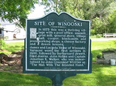
2. Site of Winooski Marker
Photographed by K. Linzmeier, June 9, 2010
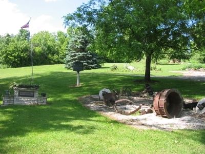
3. Site of Winooski Marker
Photographed by K. Linzmeier, June 9, 2010
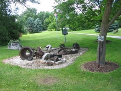
4. Site of Winooski Marker
Credits. This page was last revised on December 8, 2024. It was originally submitted on June 13, 2010, by Keith L of Wisconsin Rapids, Wisconsin. This page has been viewed 3,500 times since then and 82 times this year. Photos: 1, 2, 3, 4. submitted on June 13, 2010, by Keith L of Wisconsin Rapids, Wisconsin. • Craig Swain was the editor who published this page.
