
Boydton in Mecklenburg County, Virginia — The American South (Mid-Atlantic)
Boydton Presbyterian Church
Photographed by Bernard Fisher, June 13, 2010
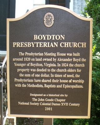
1. Boydton Presbyterian Church Marker
Erected 2001 by The John Goode Chapter, National Society Colonial Dames XVII Century.
Topics and series. This historical marker is listed in this topic list: Religion & Religious Structures. In addition, it is included in the The Colonial Dames XVII Century, National Society series list. A significant historical year for this entry is 1820.
Location. 36° 40.101′ N, 78° 23.127′ W. Marker is in Boydton, Virginia, in Mecklenburg County. It can be reached from the intersection of Hull Street (Virginia Route T-1204) and Cemetery Street. Touch for map. Marker is in this post office area: Boydton VA 23917, United States of America. Touch for directions.

Regionally, this marker is in Southern Virginia, specifically in the Piedmont, in Southside Virginia, and specifically in Central Virginia. It is
this page online
Other nearby markers. At least 8 other markers are within 2 miles of this marker, measured as the crow flies: Monument to Confederate Soldiers of Mecklenburg (within shouting distance of this marker); Boydton and Petersburg Plank Road (within shouting distance of this marker); The Boydton LOVEwork (approx. 0.2 miles away); Boyd Tavern (approx. 0.2 miles away); Boydton (approx. 0.2 miles away); Esso Gas Station (approx. 0.2 miles away); a different marker also named The Boyd Tavern (approx. 0.3 miles away); a different marker also named Boydton Academic and Bible Institute (approx. 1.2 miles away). Touch for a list and map of all markers in Boydton.
Another marker is no longer nearby. Boydton Academic and Bible Institute (was approx. 1.2 miles away but has been
Photographed by Bernard Fisher, June 13, 2010
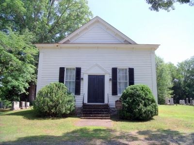
2. Boydton Presbyterian Church
Photographed by Bernard Fisher, June 13, 2010
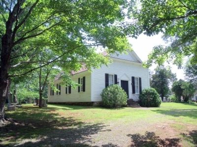
3. Boydton Presbyterian Church
Photographed by Bernard Fisher, June 13, 2010
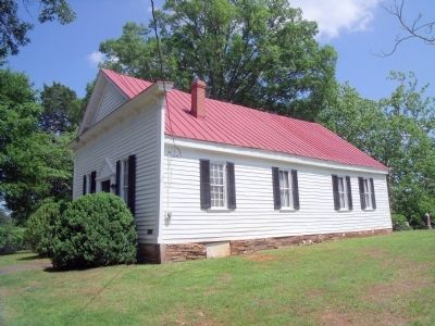
4. Boydton Presbyterian Church
Credits. This page was last revised on February 3, 2020. It was originally submitted on June 14, 2010, by Bernard Fisher of Richmond, Virginia. This page has been viewed 1,225 times since then and 30 times this year. Photos: 1, 2, 3, 4. submitted on June 14, 2010, by Bernard Fisher of Richmond, Virginia.
