Near Kingman in Mohave County, Arizona — The American Mountains (Southwest)
White Hills
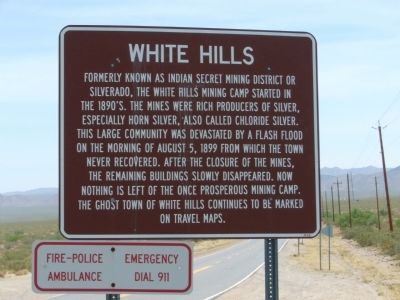
Photographed by Bill Kirchner, June 7, 2010
1. White Hills Marker
Topics. This historical marker is listed in these topic lists: Industry & Commerce • Natural Resources • Settlements & Settlers. A significant historical year for this entry is 1899.
Location. 35° 42.011′ N, 114° 28.449′ W. Marker is near Kingman, Arizona, in Mohave County. It is at the intersection of County Route 145 and U.S. 93, on the right when traveling east on County Route 145. Touch for map. Marker is in this post office area: Willow Beach AZ 86445, United States of America. Touch for directions.

Regionally, this marker is in the Colorado River Valley. It is also in the American Southwest.
this page online
Other nearby markers. At least 3 other markers are within 15 miles of this marker, measured as the crow flies: A different marker also named White Hills (within shouting distance of this marker); Taming the Colorado (approx. 14.9 miles away); Explore Lake Mead (approx. 15 miles away).
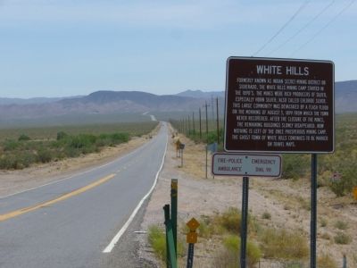
Photographed by Bill Kirchner, June 7, 2010
2. White Hills Marker
View east on White Hills Road (County highway 145).
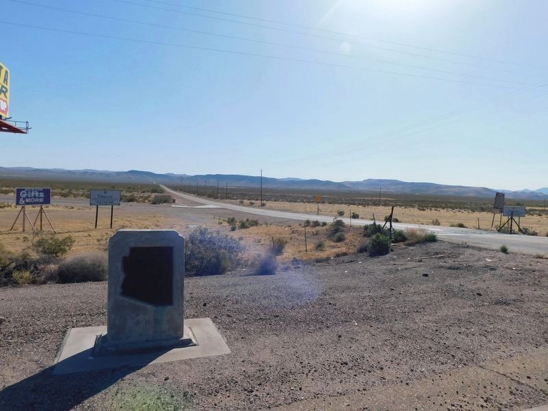
Photographed by Jimmy Emerson, April 17, 2026
3. White Hills Markers
Mohave County Road 145 leading east from US Hwy 93 in between the two markers
Credits. This page was last revised on April 23, 2026. It was originally submitted on June 14, 2010, by Bill Kirchner of Tucson, Arizona. This page has been viewed 7,334 times since then and 307 times this year. Photos: 1, 2. submitted on June 14, 2010, by Bill Kirchner of Tucson, Arizona. 3. submitted on April 20, 2026, by Jimmy Emerson of Dalton, Georgia. • Syd Whittle was the editor who published this page.
