Sullivans Island in Charleston County, South Carolina — The American South (South Atlantic)
Water for the Army
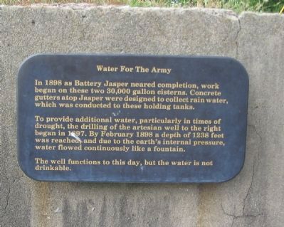
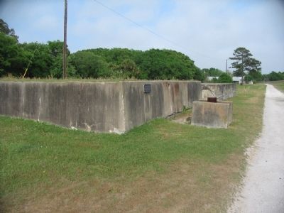
In 1898 as Battery Jasper neared completion, work began on these two 30,000 gallon cisterns. Concrete gutters atop Jasper were designed to collect rain water, which was conducted to these holding tanks.
To provide additional water, particularly in times of drought, the drilling of the artesian well to the right began in 1897. By February 1898 a depth of 1238 feet was reached and due to the earth's internal pressure, water flowed continuously like a fountain.
The well functions to this day, but the water is not drinkable.
Topics. This historical marker is listed in these topic lists: Forts and Castles • Military. A significant historical month for this entry is February 1898.
Location. 32° 45.533′ N, 79° 51.357′ W. Marker is on Sullivans Island, South Carolina, in Charleston County. Marker is on Poe Avenue, on the right when traveling east. Located at stop nine of the tour of Fort Moultrie. Touch for map. Marker is in this post office area: Sullivans Island SC 29482, United States of America. Touch for directions.
Other nearby markers. At least 10 other markers are within walking distance of this marker. Powerhouse (a few steps from this marker); Coastal Defense: The Endicott System (within shouting distance of this marker); Battery Jasper (within shouting distance of this marker); America Responds To A New Challenge (within shouting distance of this marker); Disappearing Rifle: The Endicott System (within shouting distance of this marker); Why is it Black? (within shouting distance of this marker); A Forgotten Branch Of The Service . . . The U.S. Army Coast Artillery (within shouting distance of this marker); In The Days Before Computers (within shouting distance of this marker); Buoyant Mine (within shouting distance of this marker); Communications (within shouting distance of this marker). Touch for a list and map of all markers in Sullivans Island.
Also see . . . Battery Jasper. Battery Jasper (1898-1942) was a reinforced concrete, Endicott Period 10-inch coastal gun battery on Fort Moultrie, South Carolina. (Submitted on June 23, 2012, by Brian Scott of Anderson, South Carolina.)
Credits. This page was last revised on June 16, 2016. It was originally submitted on June 18, 2010, by Craig Swain of Leesburg, Virginia. This page has been viewed 605 times since then and 10 times this year. Photos: 1, 2. submitted on June 18, 2010, by Craig Swain of Leesburg, Virginia.

