Bloomfield in Essex County, New Jersey — The American Northeast (Mid-Atlantic)
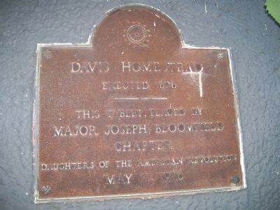
Davis Homestead
Erected 1676
Inscription.
Major Joseph Bloomfield
Chapter
Daughters of the American Revolution
May 11, 1956
Erected 1956 by Daughters of the American Revolution, Major Joseph Bloomfield Chapter.
Topics and series. This historical marker is listed in these topic lists: Colonial Era • Settlements & Settlers. In addition, it is included in the Daughters of the American Revolution series list. A significant historical month for this entry is May 1884.
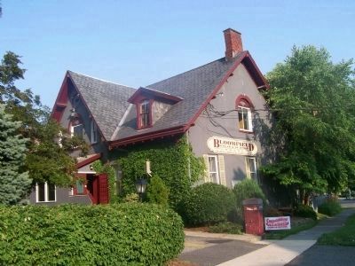
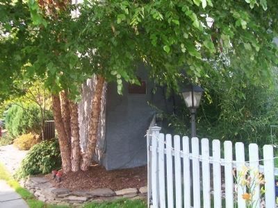
Location. 40° 47.577′ N, 74° 11.746′ W. Marker is in Bloomfield, New Jersey, in Essex County. Marker is on Franklin Street near Washington Street, on the right when traveling north. Marker is on the south side of the Bloomfield Steak & Seafood House. Touch for map. Marker is at or near this postal address: 409 Franklin Street, Bloomfield NJ 07003, United States of America. Touch for directions.
Other nearby markers. At least 8 other markers are within 2 miles of this marker, measured as the crow flies. German Presbyterian Church (approx. 0.2 miles away); Bloomfield Centennial War Memorial (approx. 0.2 miles away); Lest We Forget (approx. 0.2 miles away); Joseph Bloomfield (approx. 0.2 miles away); Morris Canal (approx. 0.4 miles away); Site of Col. Thomas Cadmus House (approx. 0.4 miles away); Belleville Copper Rolling Mill (approx. 1.2 miles away); Branch Brook Park (approx. 1.3 miles away). Touch for a list and map of all markers in Bloomfield.

Photographed By Bill Coughlin, June 27, 2010
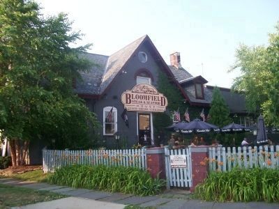
4. Davis Homestead
The Homestead figured prominently in the American Revolution. A tunnel in the cellar that led to the foot of Orange Mountain allowed women and children of the town to escape the British, the Davis women nursed a wounded British soldier to health in the house, and Generals Washington and Knox dined here on their way to Morristown.
Credits. This page was last revised on July 29, 2020. It was originally submitted on June 28, 2010, by Bill Coughlin of Woodland Park, New Jersey. This page has been viewed 1,181 times since then and 32 times this year. Photos: 1, 2, 3, 4. submitted on June 28, 2010, by Bill Coughlin of Woodland Park, New Jersey.


