Wamego in Pottawatomie County, Kansas — The American Midwest (Upper Plains)
Pottawatomie County
Photographed by Lee Hattabaugh, July 1, 2010
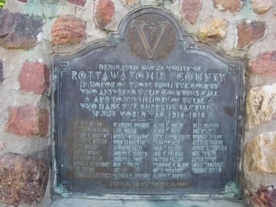
1. Pottawatomie County Marker
Louis W. Beard • Walter Blackledge • Ernest E. Brunkow • Robert L. Byrnes • Eli F. Dorsey • Lester Dugan • Clifford Ellis • Orville Ektchison • Wm. Fenton • James I Fitzpatrick • Clarence Gorges • Earl Gregg • Gustav Gustafson • Fred Harrington • Aloysius Helm • Joseph F. Higgins • Joseph A. Hohn • Geo W. Holm • Joe Hoy • Harold M. Johnson • Clyde F. Keeney • Floyd W. Kemp • Edwin I. McGlinchey • Ward McVicar • Fred W. Marten • Joel H. Melgren • Francis Miller • Theodore H. Olson • Guy F. Proctor • Albert Sester • Hank Schultz • Roy Swaim • Russell Taylor • Charley Trezise • Reuben I. Westling • Geo. Wingate • James Witter • Loran Woodcock • Herbert Zeillis
Erected 1923 by Women of Pottawatomie County.
Topics. This historical marker is listed in these topic lists: Heroes • Patriots & Patriotism • War, World I.
Location. 39° 12.067′ N, 96° 18.2′ W. Marker is in
this page online

Regionally, this marker is in Eastern Kansas and specifically in Bleeding Kansas Border War Country. It is also in the American Midwest, in the Corn Belt, on the prairies, and on the Southern Plains. Globally, it is in North America, the Western Hemisphere, the Western World, and the Anglosphere. Historically, it finds itself in what was once the Louisiana Purchase.
Other nearby markers. At least 8 other markers are within 5 miles of this marker, measured as the crow flies: World War Memorial (a few steps from this marker); 1893 Chicago World's Fair Statues (about 600 feet away, measured in a direct line); Sand and Quartz Boulder (about 600 feet away); Old Dutch Mill (about 700 feet away); Colonel Raymond E. Morris, USAF Retired (approx. 0.2 miles away); War Memorial (approx. ¾ mile away); Fort Leavenworth - Fort Riley Military Road (approx. 4.8 miles away); The Vieux Crossing & The Military Road
Photographed by Lee Hattabaugh, July 1, 2010
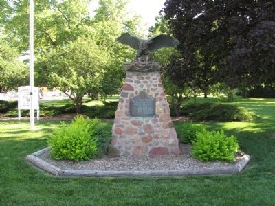
2. Pottawatomie County Marker
Photographed by Lee Hattabaugh, July 1, 2010
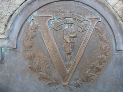
3. Pottawatomie County Marker
Photographed by Lee Hattabaugh, July 1, 2010
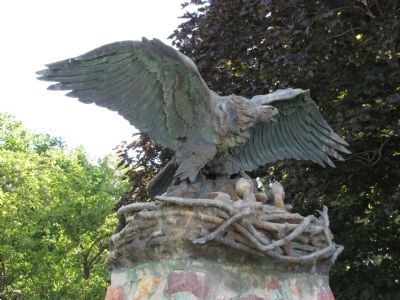
4. Pottawatomie County Marker
Credits. This page was last revised on June 16, 2016. It was originally submitted on July 3, 2010, by Lee Hattabaugh of Capshaw, Alabama. This page has been viewed 975 times since then and 23 times this year. Photos: 1, 2, 3, 4. submitted on July 3, 2010, by Lee Hattabaugh of Capshaw, Alabama. • Bill Pfingsten was the editor who published this page.
