Franklin in Heard County, Georgia — The American South (South Atlantic)
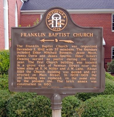
Franklin Baptist Church
<------<<<<
Erected 1956 by Georgia Historical Commission. (Marker Number 074-3.)
Topics and series. This historical marker is listed in this topic list: Churches & Religion. In addition, it is included in the Georgia Historical Society series list. A significant historical date for this entry is December 2, 1934.
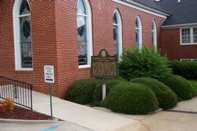
Location. 33° 16.805′ N, 85° 5.864′ W. Marker is in Franklin, Georgia, in Heard County. Marker is on Main Street, 0 miles east of Park Street, on the right when traveling east. Touch for map. Marker is in this post office area: Franklin GA 30217, United States of America. Touch for directions.
Other nearby markers. At least 8 other markers are within 14 miles of this marker, measured as the crow flies. Heard County (about 300 feet away, measured in a direct line); Heard County Jail (about 500 feet away); Franklin Methodist Church (about 600 feet away); Benjamin Hawkins (approx. 0.6 miles away); The Attempted Assassination of Isaiah H. Lofton (approx. 12.8 miles away); William Hogan Plantation (approx. 13.4 miles away); Wehadkee Yarn Mills (approx. 13.9 miles away in Alabama); Council Bluffs Treaty (approx. 14.1 miles away). Touch for a list and map of all markers in Franklin.
Credits. This page was last revised on January 31, 2020. It was originally submitted on July 6, 2010, by David Seibert of Sandy Springs, Georgia. This page has been viewed 693 times since then and 15 times this year. Photos: 1, 2, 3. submitted on July 6, 2010, by David Seibert of Sandy Springs, Georgia. • Craig Swain was the editor who published this page.


