Keyser in Mineral County, West Virginia — The American South (Appalachia)
Keyser
⎯⎯⎯
Averell’s Raid
Photographed by Bradley Owen, August 21, 2021
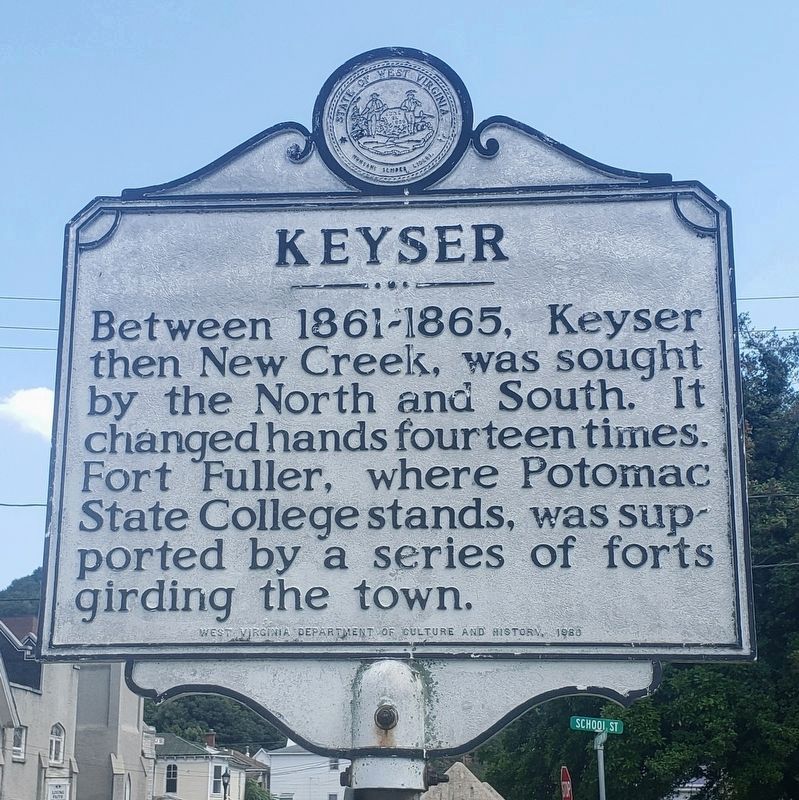
1. Keyser side of the marker
Keyser. Between 1861–1865, Keyser, then New Creek, was sought by the North and South. It changed hands fourteen times. Fort Fuller, where Potomac State Collect stands, was supported by a series of forts girding the town.
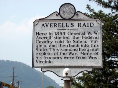
Averell’s Raid. Here in 1863 General W. W. Averell started the Federal cavalry raid to Salem, Virginia, and then back into this State. This is among the great exploits of the War. Many of his troopers were from West Virginia.
Erected 1980 by West Virginia Department of Culture and History.
Topics and series. This historical marker is listed in this topic list: War, US Civil. In addition, it is included in the West Virginia Archives and History series list. A significant historical year for this entry is 1865.
Location. 39° 26.37′ N, 78° 58.599′ W. Marker is in Keyser, West Virginia, in Mineral County. It is at the intersection of East Piedmont Street and North Davis Street, on the right when traveling
this page online

Regionally, this marker is in the Eastern Panhandle. It is also in the American South, specifically in the Upper South, in Appalachia, and specifically in Northern Appalachia. Globally, it is in North America, the Western Hemisphere, the Western World, and the Anglosphere. Historically, it finds itself in what was once the territory of the Mississippian Culture.
Other nearby markers. At least 5 other markers are within walking distance of this marker: Historical Marker near Post Office (here, next to this marker); Armstrong Mansion (a few steps from this marker); Former Keyser High School (a few steps from this marker); The Ed Kelley Memorial Plaza (within shouting distance of this marker); Jonah Edward Kelley (within shouting distance of this marker). Touch for a list and map of
Photographed by J. J. Prats, July 5, 2010
2. Averell’s Raid Face of Marker
Other markers no longer nearby. Kelley Memorial Plaza (was within shouting distance of this marker but has been replaced with another marker now near it); World War II (was within shouting distance of this marker but has been replaced with another marker now near it); D-Day (was within shouting distance of this marker but has been replaced with another marker now near it); Key Terrain (was within shouting distance of this marker but has been replaced with another marker now near it); The First Battle of Kesternich (was within shouting distance of this marker but has been replaced with another marker now near it); The Battle of the Bulge (was within shouting distance of this marker but has been replaced with another marker now near it); Regaining the Initiative (was within shouting distance of this marker but has been replaced with another marker now near it); The Medal of Honor (was within shouting
Photographed by J. J. Prats, July 5, 2010
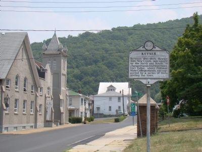
3. View East at Marker
More about this marker. An exact duplicate of this marker can be found on S. Mineral Street at Carskadon Lane.
Related markers. Click here for a list of markers that are related to this marker. These two markers are identical but are in distinct parts of the City of Keyser.
Also see . . .
1. Wikipedia Entry for Keyser, West Virginia. “Because of the importance of the railroad, the town changed hands 14 times. At the time, West Virginia
Photographed by J. J. Prats, July 5, 2010
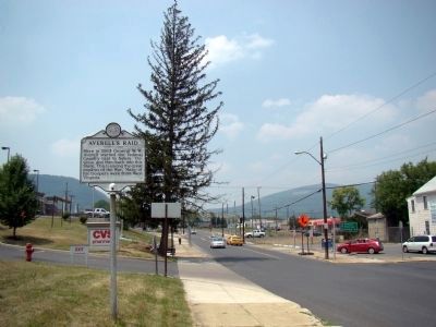
4. View West at Marker
The traffic light in the distance is the intersection of US 220 and WV 46.
2. Wikipedia entry for General W. W. Averell. “Averell left the Army of the Potomac after his relief at Chancellorsville and fought a series of minor engagements in the Department of West Virginia at the brigade and division level. In November 1863, he conducted what is called Averell’s West Virginia Raid against the Virginia and Tennessee Railroad. He received a brevet promotion to lieutenant colonel in the regular army for the Battle of Droop Mountain in West Virginia on November 6, 1863, and to colonel for actions at Salem, Virginia, on December 15, 1863. In the spring of 1864, he led another cavalry raid toward Saltville but was stopped by Generals John Hunt Morgan and William E. ‘Grumble’ Jones at Cove Gap. Returning to West Virginia, he later commanded a cavalry division under Maj. Gen. David Hunter in his failed raid on Lynchburg.” (Submitted on July 9, 2010, by J. J. Prats of Powell, Ohio.)
Credits. This page was last revised on April 25, 2022. It was originally submitted on July 9, 2010, by J. J. Prats of Powell, Ohio. This page has been viewed 1,334 times since then and 137 times this year. Photos: 1. submitted on August 21, 2021, by Bradley Owen of Morgantown, West Virginia. 2, 3, 4. submitted on July 9, 2010, by J. J. Prats of Powell, Ohio.
