Near Sedona in Coconino County, Arizona — The American Mountains (Southwest)
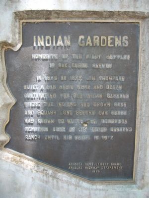
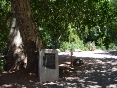
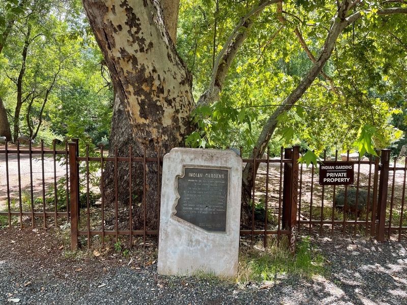
Indian Gardens
Homesite of the First Settler in Oak Creek Canyon
Erected 1965 by Arizona Development Board, Arizona Highway Department.
Topics. This historical marker is listed in these topic lists: Agriculture • Notable Places • Settlements & Settlers. A significant historical year for this entry is 1876.
Location. 34° 54.612′ N, 111° 43.71′ W. Marker is near Sedona, Arizona, in Coconino County. Marker is on Arizona Route 89A at milepost 378 south of Old Indian Road, on the right when traveling north. Touch for map. Marker is in this post office area: Sedona AZ 86336, United States of America. Touch for directions.
Other nearby markers. At least 8 other markers are within 4 miles of this marker, measured as the crow flies. Wilson Mtn. Trail (approx. 1.8 miles away); Orchards (1890 - 1970) (approx. 2.9 miles away); Jordan Tractor Shed (approx. 2.9 miles away); Jordan Farmhouse (approx. 2.9 miles away); Fruit Packing House (approx. 3 miles away); Van Deren Ranch (approx. 3 miles away); Jordan Sales Building (approx. 3.1 miles away); Rollie's Camera (approx. 3.3 miles away). Touch for a list and map of all markers in Sedona.
Credits. This page was last revised on August 3, 2021. It was originally submitted on July 18, 2010, by Bill Kirchner of Tucson, Arizona. This page has been viewed 2,482 times since then and 124 times this year. Photos: 1, 2. submitted on July 18, 2010, by Bill Kirchner of Tucson, Arizona. 3. submitted on August 2, 2021, by Theresa Hyde of Tucson, Arizona. 4. submitted on July 18, 2010, by Bill Kirchner of Tucson, Arizona. • Syd Whittle was the editor who published this page.


