Near Decatur in Macon County, Illinois — The American Midwest (Great Lakes)
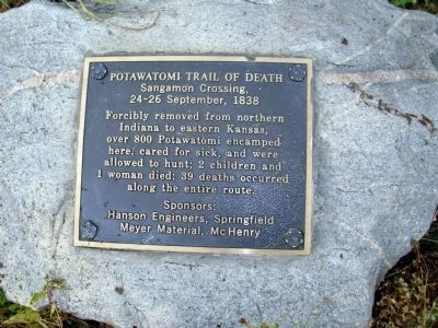
Potawatomi Trail of Death
Sangamon Crossing
| — | 24 - 26 September, 1838 | — |
Photographed by Courtesy:: Trevor Searcy, July 18, 2010
1. Potawatomi Trail of Death Marker
(Click on any of these photos to see the details.)
Sponsors: Hanson Engineers, Springfield Meyer Material, McHenry
Erected 1993 by Boy Scout Ryan Berg (Eagle Award).
Topics and series. This historical marker is listed in this topic list: Indigenous Peoples and Communities. In addition, it is included in the Potawatomi Trail of Death series list. A significant historical date for this entry is September 24, 1838.
Location. 39° 55.867′ N, 88° 47.293′ W. Marker is near Decatur, Illinois, in Macon County. It is at the intersection of Dunbar Road and Caleb Road, on the left when traveling south on Dunbar Road. Touch for map. Marker is in this post office area: Decatur IL 62521, United States of America. Touch for directions.

Regionally, this marker is in Central Illinois. It is also in the American Midwest and in the Corn Belt. Globally, it is in North America, the Western Hemisphere, the Western World, and the Anglosphere. Historically, it finds itself in what was once
this page online
Other nearby markers. At least 8 other markers are within 8 miles of this marker, measured as the crow flies: Lorton's Trading Post (here, next to this marker); Grain Elevator Office (approx. 3.8 miles away); Prairie Park Veterans Memorial (approx. 3.9 miles away); Illinois Remembers (approx. 4 miles away); Illinois Remembers POW/MIA (approx. 4.2 miles away); Friends Creek Veterans Memorial (approx. 4.3 miles away); Dr. Robert Ferrier Carr and Emily Smick Carr (approx. 4.4 miles away); Macon County Museum (approx. 7.3 miles away). Touch for a list and map of all markers in Decatur.
Also see . . . History and More Items:. This Official Web-site of the "Potawatomi Trail of Death Association" is the center of activity and information - with many excellent links. (Submitted on July 20, 2010, by Al Wolf of Veedersburg, Indiana.)
Additional keywords. forced removal
Photographed by Courtesy:: Trevor Searcy, July 18, 2010
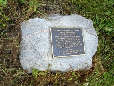
2. Full View - - Potawatomi Trail of Death Marker

Photographed by Courtesy:: Trevor Searcy, July 18, 2010
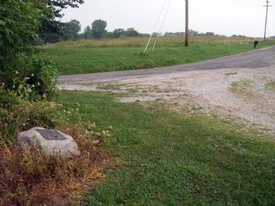
3. Wide View - - Potawatomi Trail of Death Marker
Photographed by Courtesy:: Trevor Searcy, July 18, 2010
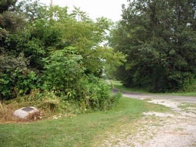
4. Looking North/West - - Potawatomi Trail of Death Marker
Photographed by Courtesy:: Trevor Searcy, July 18, 2010
5. Looking West - - Potawatomi Trail of Death Marker
Credits. This page was last revised on August 25, 2026. It was originally submitted on July 20, 2010, by Al Wolf of Veedersburg, Indiana. This page has been viewed 2,832 times since then and 86 times this year. Photos: 1, 2, 3, 4, 5. submitted on July 20, 2010, by Al Wolf of Veedersburg, Indiana. • Bill Pfingsten was the editor who published this page.
