Near Wellsburg in Chemung County, New York — The American Northeast (Mid-Atlantic)
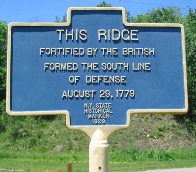
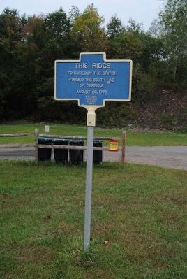
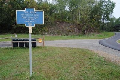
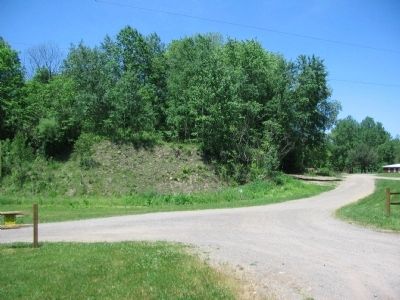
This Ridge
fortified by the British
formed the south line
of defense
August 29, 1779
Erected 1929 by New York State.
Topics. This historical marker is listed in this topic list: War, US Revolutionary. A significant historical year for this entry is 1779.
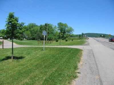
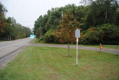
Location. 42° 1.63′ N, 76° 43.292′ W. Marker is near Wellsburg, New York, in Chemung County. Marker is on Lowman Crossover just south of Southern Tier Expressway (Interstate 86), on the left when traveling north. Located at a commuter parking area, just off Exit 58 from the Southern Tier Expressway (I-86). Touch for map. Marker is in this post office area: Lowman NY 14861, United States of America. Touch for directions.
Other nearby markers. At least 10 other markers are within one mile of this marker, measured as the crow flies. Newtown Battlefield (approx. 0.2 miles away); Newtown Defense (approx. 0.2 miles away); Native Voices (approx. 0.2 miles away); Line of Rude Breastworks (approx. 0.2 miles away); Line Occupied - Rifle Corps (approx. ¼ mile away); Knoll Cemetery (approx. 0.3 miles away); Our Foe Redmen & British (approx. 0.4 miles away); Routes of the Armies / Newtown 1779 (approx. half a mile away); Christ Episcopal Church (approx. 0.9 miles away); Thick Swamp (approx. one mile away).
Also see . . . Chemung Valley Living History Center . The center preserves and interprets part of the Newtown battlefield. (Submitted on July 20, 2010, by Craig Swain of Leesburg, Virginia.)
Credits. This page was last revised on June 16, 2016. It was originally submitted on July 20, 2010, by Craig Swain of Leesburg, Virginia. This page has been viewed 887 times since then and 13 times this year. Photos: 1. submitted on July 20, 2010, by Craig Swain of Leesburg, Virginia. 2. submitted on November 5, 2015, by Brian Scott of Anderson, South Carolina. 3. submitted on July 20, 2010, by Craig Swain of Leesburg, Virginia. 4, 5. submitted on November 5, 2015, by Brian Scott of Anderson, South Carolina. 6. submitted on July 20, 2010, by Craig Swain of Leesburg, Virginia.
