Flagstaff in Coconino County, Arizona — The American Mountains (Southwest)
Flagstaff Flag - Raising
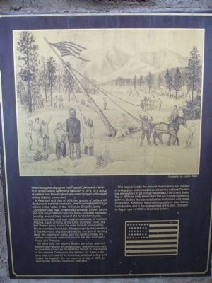
In February and May of 1876, two groups of settlers left Boston and traveled westward, intent upon establishing a colony in the valley of the Colorado Chiquito (Little Colorado River) near present-day Winslow. Known as the first and second Boston parties, these colonist had been lured by second-hand tales of the fertile farm lands, healthful climate, and vast mineral resources of northern Arizona. Upon arriving at the Little Colorado River, the first Boston party found the area already occupied by Mormon settlers from Utah. Disappointed by the presence of the Mormons and disillusioned by the lack of farming land, the scarcity of water, and the harsh climate, the settlers continued westward toward the San Francisco Peaks and Prescott.
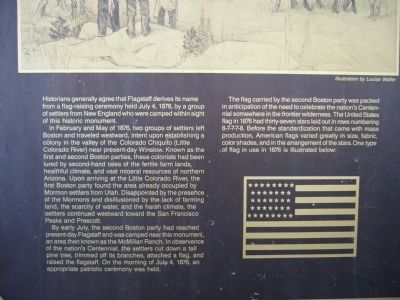
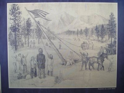
By early July, the second Boston party had reached present-day Flagstaff and was camped near this monument, an area then known as the McMillan Ranch. In observance of the nation's Centennial, the settlers cut down a tall pine tree, trimmed off its branches, attached a flag, and raised the flagstaff. On the morning of July 4, 1876, an appropriate patriotic ceremony was held.
The flag carried by the second Boston party was packed in anticipation of the need to celebrate the nation's Centennial somewhere in the frontier wilderness. The United States flag in 1876 had thirty-seven stars laid out in rows numbering 8-7-7-7-8. Before the standardization that came with mass production, American flags varied greatly in size, fabric, color shades, and in the arrangement of the stars. One type of flag in use in 1876 is illustrated below:
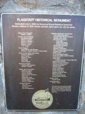
Erected 1985 by City of Flagstaff.
Topics. This historical marker is listed in these topic lists: Notable Places • Patriots & Patriotism • Settlements & Settlers. A significant historical month for this entry is May 1876.
Location. 35° 12.473′ N, 111° 39.248′ W. Marker is in Flagstaff, Arizona, in Coconino County. Marker is on North Thorpe Road, on the left when traveling west. Marker is located in Thorpe Park. Touch for map. Marker is in this post office area: Flagstaff AZ 86001, United States of America. Touch for directions.
Other nearby markers. At least 8 other markers are within walking distance of this marker. Methodist Episcopal Church (approx. half a mile away); The Milligan House (approx. 0.6 miles away); Church of the Nativity (approx. 0.6 miles away); Walkway of Flags (approx. 0.6 miles away); Clark Dome Weather Station (approx. 0.7 miles away); Lowell Observatory
(approx. 0.7 miles away); Henry Lee Giclas (approx. 0.7 miles away); The Lawrence Lowell Telescope (approx. 0.7 miles away). Touch for a list and map of all markers in Flagstaff.
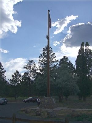
More about this marker. Markers are mounted on the stone base of the flagpole.
Credits. This page was last revised on June 16, 2016. It was originally submitted on July 21, 2010, by Bill Kirchner of Tucson, Arizona. This page has been viewed 3,739 times since then and 105 times this year. Photos: 1, 2, 3, 4, 5. submitted on July 21, 2010, by Bill Kirchner of Tucson, Arizona. • Syd Whittle was the editor who published this page.
