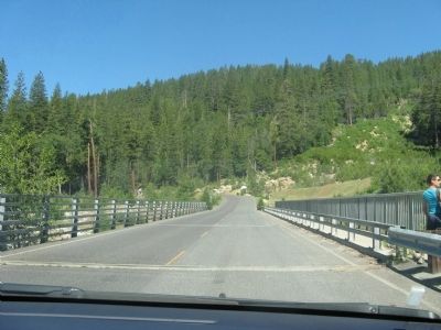
Near Dorrington in Calaveras County, California — The American West (Pacific Coastal)
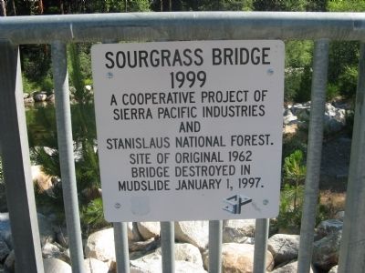
Sourgrass Bridge
1999
Sierra Pacific Industries
and
Stanislaus National Forest.
Site of original 1962
bridge destroyed in
mudslide January 1, 1997.
Topics. This historical marker is listed in this topic list: Bridges & Viaducts. A significant historical date for this entry is January 1, 1997.
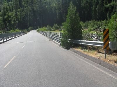
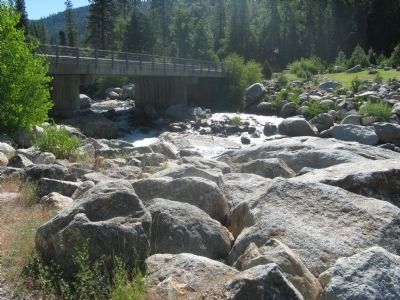
Location. 38° 19.294′ N, 120° 13.022′ W. Marker is near Dorrington, California, in Calaveras County. Marker is on Boards Crossing Road/Forest Route 5NO2, 5 miles south of Ebbetts Pass Scenic Byway (California Highway 4), on the left when traveling south. Duplicate markers are mounted at each end of the bridge which crosses the North Fork of the Stanislaus River. Touch for map. Marker is in this post office area: Arnold CA 95223, United States of America. Touch for directions.
Other nearby markers. At least 8 other markers are within 12 miles of this marker, measured as the crow flies. Board's Crossing (approx. 1˝ miles away); Dorrington Hotel (approx. 3.6 miles away); Hanging On By A Branch (approx. 5˝ miles away); Discovery and Exploitation (approx. 5.7 miles away); California Big Trees State Park (approx. 5.8 miles away); White Pines History (approx. 7.7 miles away); Doc S.C. Linebaugh Park (approx. 7.8 miles away); Camp Tamarack (approx. 11.2 miles away). Touch for a list and map of all markers in Dorrington.
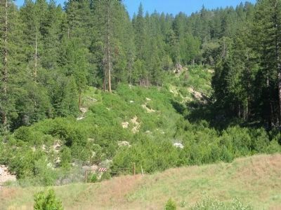
Regarding Sourgrass Bridge. Googlemaps satellite view shows the full 2 1/2 mile scar from north of Highway 4 to its end here at the Stanislaus River.
The slide moving at 12 miles per hour was 300 feet wide and 35 feet high. It displaced 191,020 cubic yards of trees, mud, rocks and vegitation.
Credits. This page was last revised on January 5, 2020. It was originally submitted on July 22, 2010, by Syd Whittle of Mesa, Arizona. This page has been viewed 1,616 times since then and 46 times this year. Photos: 1, 2, 3, 4, 5. submitted on July 22, 2010, by Syd Whittle of Mesa, Arizona.
