Needles in San Bernardino County, California — The American West (Pacific Coastal)
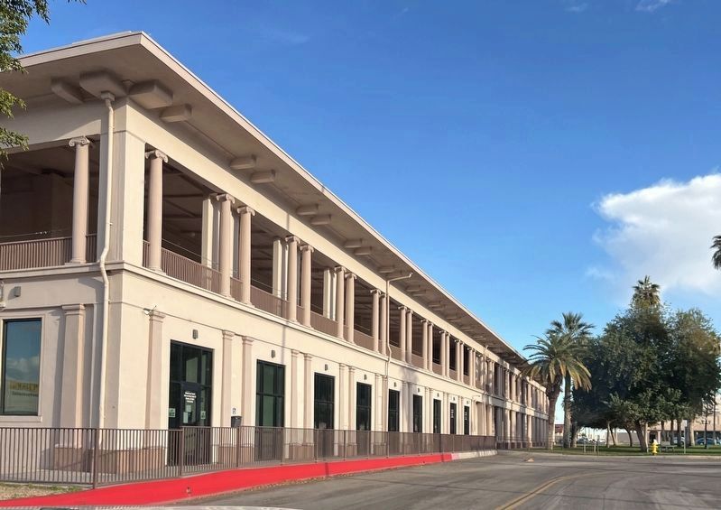
Needles El Garces Train Station, Needles, California
Route 66 Roadside Attraction
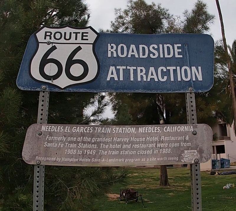
Photographed by Jason Voigt, March 4, 2022
1. Needles El Garces Train Station, Needles, California Marker
Recognized by Hampton Hotels Save-A-Landmark program as a site worth seeing.
Erected 2003 by Hampton Hotels Save-a-Landmark program.
Topics and series. This historical marker is listed in these topic lists: Industry & Commerce • Notable Buildings • Railroads & Streetcars. In addition, it is included in the Atchison, Topeka and Santa Fe Railway, the Route 66 Roadside Attractions, and the U.S. Route 66 series lists. A significant historical year for this entry is 1908.
Location. 34° 50.421′ N, 114° 36.385′ W. Marker is in Needles, California, in San Bernardino County. It is at the intersection of Quinn Court and G Street, on the right when traveling west on Quinn Court. Marker is on the northeast corner. Touch for map. Marker is in this post office area: Needles CA 92363, United States of America. Touch for directions.

Regionally, this marker is in Greater Los Angeles, in the Mojave Desert, in the Peninsular Ranges, and specifically
this page online
Other nearby markers. At least 8 other markers are within 13 miles of this marker, measured as the crow flies: Old Cantilever Train Signal (a few steps from this marker); Citizens of Needles (within shouting distance of this marker); Borax Wagon No. 277 (approx. 0.4 miles away); National Old Trails (approx. ¾ mile away); Historic Route 66 (approx. 5.7 miles away); Oatman (approx. 8.8 miles away in Arizona); History of the Fort Mojave Tribe (approx. 12.3 miles away in Nevada); Von Schmidt State Boundary Monument (approx. 12.4 miles away). Touch for a list and map of all markers in Needles.
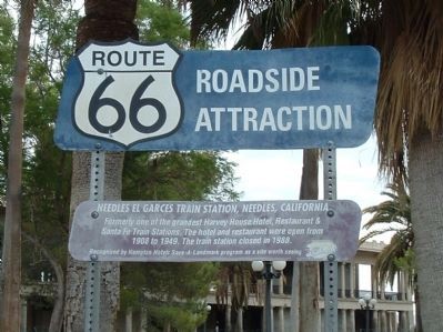
Photographed by Bill Kirchner, July 9, 2010
2. Needles El Garces Train Station Marker
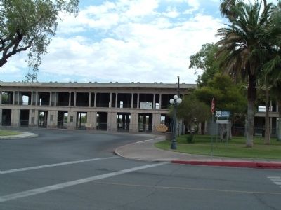
Photographed by Bill Kirchner, July 9, 2010
3. Needles El Garces Train Station Marker
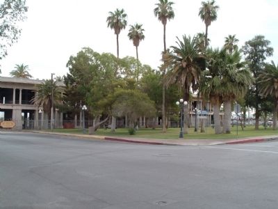
Photographed by Bill Kirchner, July 9, 2010
4. Needles El Garces Train Station
Photographed by Denise Boose, April 25, 2019
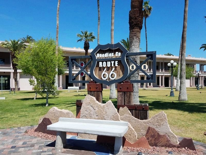
5. Needles El Garces Train Station Marker
The old Route 66 Sign has been removed and replaced with this one. There is probably another one in the works from the Needles Chamber of Commerce.
Photographed by Denise Boose, April 25, 2019
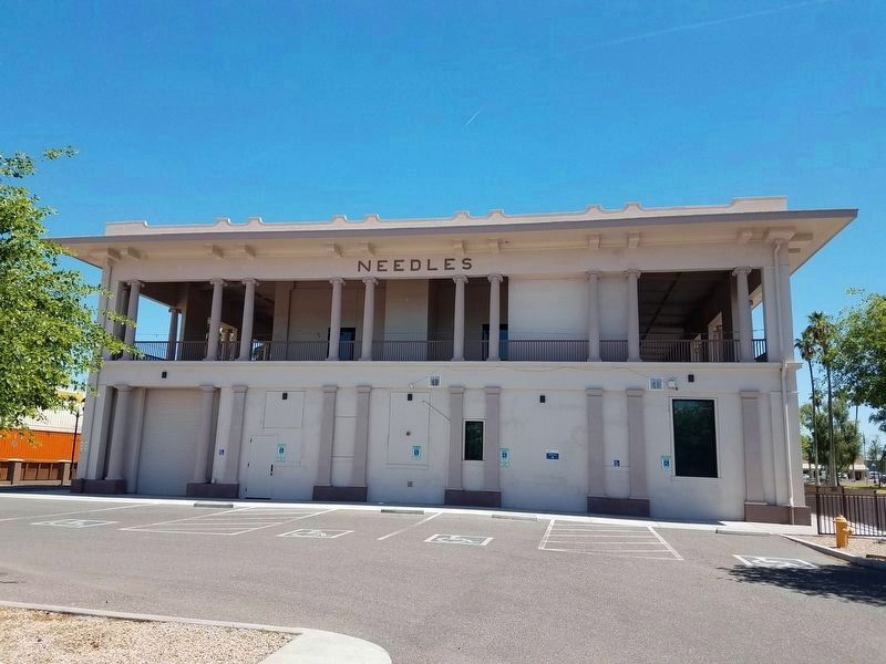
6. Needles El Garces Train Station
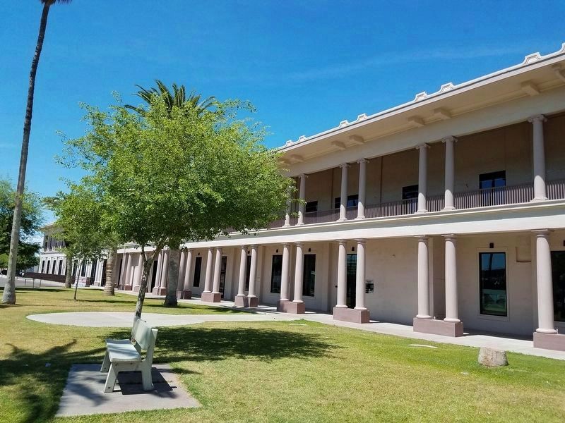
El Garces Needles Harvey House has been restored with a Amtrak Waiting Room inside.
Photographed by Denise Boose, April 25, 2019
7. Needles El Garces Train Station
Postcard by the Newman Company, Los Angeles, circa 1909
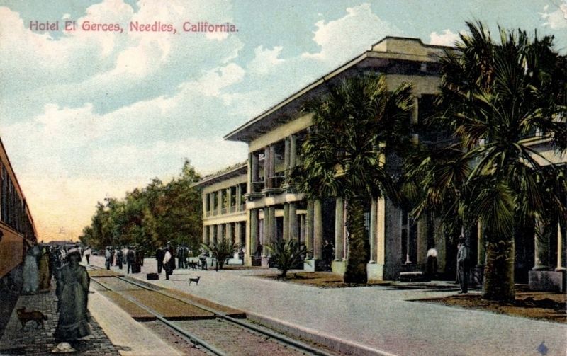
8. Hotel El Gerces, Needles, California
Photographed by Adam Margolis, January 8, 2026
9. Needles El Garces Train Station, Needles, California Marker
Credits. This page was last revised on April 2, 2026. It was originally submitted on July 22, 2010, by Bill Kirchner of Tucson, Arizona. This page has been viewed 2,209 times since then and 64 times this year. Photos: 1. submitted on July 10, 2022, by Jason Voigt of Glen Carbon, Illinois. 2, 3, 4. submitted on July 22, 2010, by Bill Kirchner of Tucson, Arizona. 5, 6, 7. submitted on April 28, 2019, by Denise Boose of Tehachapi, California. 8. submitted on May 3, 2019. 9. submitted on March 28, 2026, by Adam Margolis of Mission Viejo, California. • Syd Whittle was the editor who published this page.
