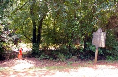
Roswell in Fulton County, Georgia — The American South (South Atlantic)
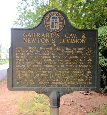
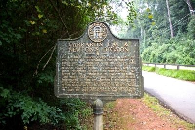
Garrard’s Cav. & Newton’s Division
Wilder’s brigade (Miller, commanding) led off ~ its 4 regiments abreast as skirmishers, followed by the 3 regiments of Minty's brigade.
The ridge, 300 yds. S. of the river, was seized, intrenched & held by Garrard’s troopers until relieved at dusk by Newton’s 4th A.C. div., which had moved up from Vining’s Station. Newton, in turn, was relieved by Dodge’s 16th A.C. [US], July 10. Dodge’s engineers built 2 bridges.
Erected 1954 by Georgia Historical Commission. (Marker Number 060-5.)
Topics and series. This historical marker is listed in this topic list: War, US Civil. In addition, it is included in the Georgia Historical Society series list. A significant historical date for this entry is July 9, 1779.
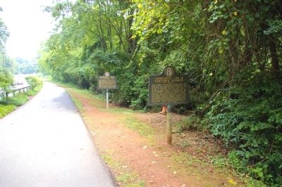
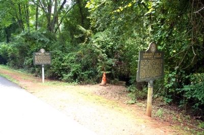
Location. 34° 0.283′ N, 84° 21.181′ W. Marker is in Roswell, Georgia, in Fulton County. Marker is on Azalea Drive, 0.1 miles west of Roswell Road (Georgia Route 9), on the right when traveling east. Touch for map. Marker is in this post office area: Roswell GA 30075, United States of America. Touch for directions.
Other nearby markers. At least 8 other markers are within walking distance of this marker. McPherson’s Troops at Shallow Ford (a few steps from this marker); Allenbrook (approx. ¼ mile away); The Trail of Tears (approx. ¼ mile away); Lynching in America / Lynching of Mack Henry Brown (approx. ¼ mile away); Army of the Tennessee at Roswell (approx. ¼ mile away); The Removal of 1838 (approx. ¼ mile away); To Honor Those Who Came Before Us (approx. 0.3 miles away); Mill Dam and Raceway (approx. 0.6 miles away). Touch for a list and map of all markers in Roswell.
Credits. This page was last revised on June 16, 2016. It was originally submitted on July 25, 2010, by David Seibert of Sandy Springs, Georgia. This page has been viewed 987 times since then and 12 times this year. Photos: 1, 2, 3, 4, 5. submitted on July 25, 2010, by David Seibert of Sandy Springs, Georgia. • Craig Swain was the editor who published this page.
