Near Stewartsville in Warren County, New Jersey — The American Northeast (Mid-Atlantic)
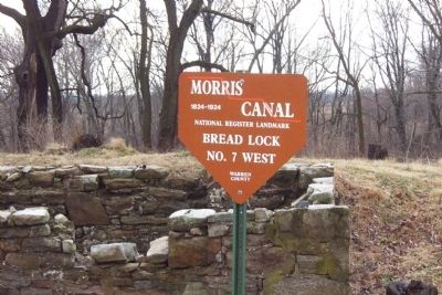
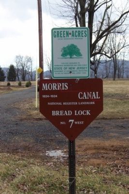
Morris Canal Bread Lock No 7 West
1824-1924
National Register Landmark
Bread Lock
No. 7 West
Warren County
Topics and series. This historical marker is listed in this topic list: Waterways & Vessels. In addition, it is included in the Morris Canal series list.
Location. 40° 42.767′ N, 75° 5.583′ W. Marker is near Stewartsville, New Jersey, in Warren County. Marker is on New Jersey Route 57 at milepost 4, on the right when traveling east. Touch for map. Marker is at or near this postal address: 2627 State Route 57, Stewartsville NJ 08886, United States of America. Touch for directions.
Other nearby markers. At least 8 other markers are within 4 miles of this marker, measured as the crow flies. Edison Portland Cement Company (about 500 feet away, measured in a direct line); The Concrete Mile (approx. 0.4 miles away); Honor Roll (approx. 1.7 miles away); Inclined Plane / Morris Canal Inclined Plane No 9 West (approx. 2.8 miles away); Franklin Township Veterans Monument (approx. 3˝ miles away); Greenwich Township Veterans Monument (approx. 3.6 miles away); Old Greenwich Cemetery (approx. 3.6 miles away); General William Maxwell (approx. 3.6 miles away). Touch for a list and map of all markers in Stewartsville.
More about this marker. There are two markers at this site. One on State Route 57 to mark the location (picture 2), and one at the lock itself (picture 1). The coordinates are at the lock.
Credits. This page was last revised on June 16, 2016. It was originally submitted on July 26, 2010, by John Ben Urban of Middletown, Delaware. This page has been viewed 1,061 times since then and 19 times this year. Photos: 1, 2. submitted on July 26, 2010, by John Ben Urban of Middletown, Delaware. • Kevin W. was the editor who published this page.

