Phoebus in Hampton, Virginia — The American South (Mid-Atlantic)
Phoebus
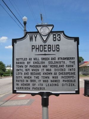
Photographed by Kevin W., July 18, 2010
1. Phoebus Marker
Erected by Virginia Department of Historic Resources. (Marker Number WY-93.)
Topics and series. This historical marker is listed in this topic list: Settlements & Settlers. In addition, it is included in the Virginia Department of Historic Resources (DHR) series list. A significant historical year for this entry is 1871.
Location. 37° 1.008′ N, 76° 19.495′ W. Marker is in Hampton, Virginia. It is in Phoebus. It is at the intersection of South Mallory Street and Downes Street, on the right when traveling east on South Mallory Street. Touch for map. Marker is in this post office area: Hampton VA 23663, United States of America. Touch for directions.

Regionally, this marker is on Virginia’s Peninsula and in Coastal Virginia. It is also in the American South, specifically in the Upper South, in the Tidewater, and on the Eastern
this page online
Other nearby markers. At least 8 other markers are within walking distance of this marker: Town Hall / Fire Department (approx. 0.2 miles away); In Memoriam (approx. 0.2 miles away); Phoebus Life (approx. 0.2 miles away); Harrison Phoebus (approx. 0.2 miles away); Phoebus - The Gateway To The New World (approx. 0.2 miles away); A National Cemetery System (approx. 0.3 miles away); Saint Mary Star Of The Sea And Its School (approx. 0.4 miles away); Chesapeake & Ohio (approx. 0.4 miles away). Touch for a list and map of all markers in Hampton.
More about this marker. This marker is in Phoebus, a historic area in the City of Hampton. Phoebus was an incorporated town in Elizabeth City County, which was merged into the City of Hampton in 1952 and no longer exists.
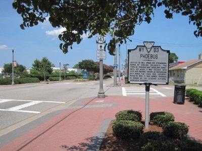
Photographed by Kevin W., July 18, 2010
2. Phoebus Marker
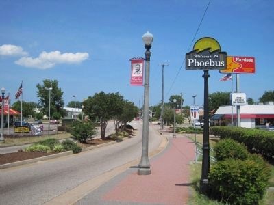
Photographed by Kevin W., July 18, 2010
3. Phoebus Marker
The marker is barely visible in the background, behind the Welcome to Phoebus post.
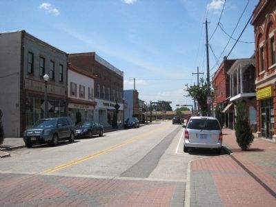
Photographed by Kevin W., July 18, 2010
4. Beautiful Downtown Phoebus
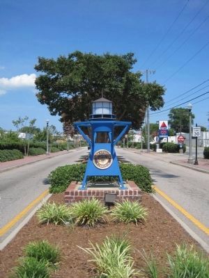
Photographed by Kevin W., July 18, 2010
5. Welcome to Phoebus
Credits. This page was last revised on February 1, 2023. It was originally submitted on July 26, 2010, by Kevin W. of Stafford, Virginia. This page has been viewed 2,257 times since then and 63 times this year. Photos: 1, 2, 3, 4, 5. submitted on July 26, 2010, by Kevin W. of Stafford, Virginia.
