Phoebus in Hampton, Virginia — The American South (Mid-Atlantic)
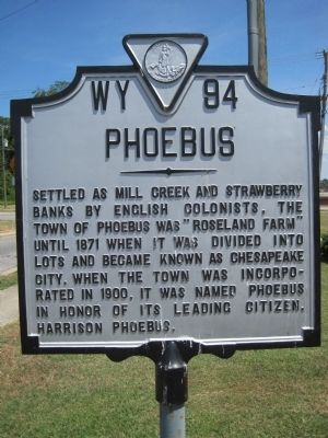
Phoebus
Erected by Virginia Department of Historic Resources. (Marker Number WY-94.)
Topics and series. This historical marker is listed in this topic list: Settlements & Settlers. In addition, it is included in the Virginia Department of Historic Resources (DHR) series list. A significant historical year for this entry is 1871.
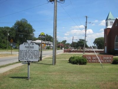
Location. 37° 1.388′ N, 76° 19.65′ W. Marker is in Hampton, Virginia. It is in Phoebus. Marker is at the intersection of West County Street and Woodland Road, on the right when traveling east on West County Street. Touch for map. Marker is in this post office area: Hampton VA 23663, United States of America. Touch for directions.
Other nearby markers. At least 8 other markers are within walking distance of this marker. A National Cemetery System (about 700 feet away, measured in a direct line); Emancipation Oak (approx. 0.2 miles away); Hampton Institute (approx. 0.2 miles away); a different marker also named Emancipation Oak (approx. 0.2 miles away); John Baptist Pierce (approx. 0.2 miles away); Hampton VAMC National Cemetery (approx. 0.4 miles away); Second Church at Kecoughtan (approx. 0.4 miles away); First Church at Kecoughtan (approx. 0.4 miles away). Touch for a list and map of all markers in Hampton.
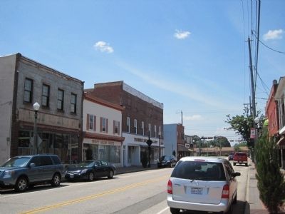
More about this marker. This marker is in Phoebus, a historic area in the City of Hampton. Phoebus was an incorporated town in Elizabeth City County, which was merged into the City of Hampton in 1952 and no longer exists.
Credits. This page was last revised on February 1, 2023. It was originally submitted on July 26, 2010, by Kevin W. of Stafford, Virginia. This page has been viewed 807 times since then and 13 times this year. Photos: 1, 2, 3. submitted on July 26, 2010, by Kevin W. of Stafford, Virginia.


