Philippi in Barbour County, West Virginia — The American South (Appalachia)
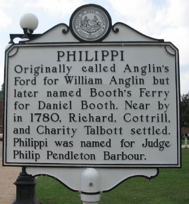
Philippi
Topics and series. This historical marker is listed in this topic list: Political Subdivisions. In addition, it is included in the West Virginia Archives and History series list. A significant historical year for this entry is 1780.
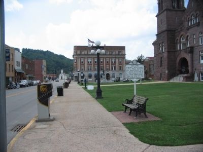
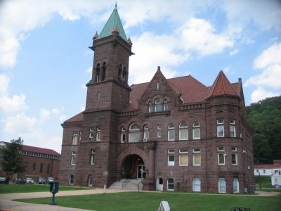
Location. 39° 9.127′ N, 80° 2.354′ W. Marker is in Philippi, West Virginia, in Barbour County. Marker is at the intersection of North Main Street (U.S. 250) and Court Street, on the right when traveling north on North Main Street. Located beside the Barbour County Courthouse. Touch for map. Marker is in this post office area: Philippi WV 26416, United States of America. Touch for directions.
Other nearby markers. At least 8 other markers are within walking distance of this marker. Confederate Headquarters (within shouting distance of this marker); Heroes of World War II ☆ Honor Roll (within shouting distance of this marker); Barbour County Korean War Memorial (within shouting distance of this marker); Barbour County War Memorial (within shouting distance of this marker); Medical Firsts (within shouting distance of this marker); Hanger's Limb (within shouting distance of this marker); First Amputation of the Civil War (about 300 feet away, measured in a direct line); Place Where Kelley was Shot (about 500 feet away). Touch for a list and map of all markers in Philippi.
Credits. This page was last revised on December 28, 2020. It was originally submitted on July 28, 2010, by Craig Swain of Leesburg, Virginia. This page has been viewed 1,049 times since then and 37 times this year. Photos: 1, 2, 3. submitted on July 28, 2010, by Craig Swain of Leesburg, Virginia. 4. submitted on December 27, 2020, by Allen C. Browne of Silver Spring, Maryland.


