Brooklyn Heights in Kings County, New York — The American Northeast (Mid-Atlantic)
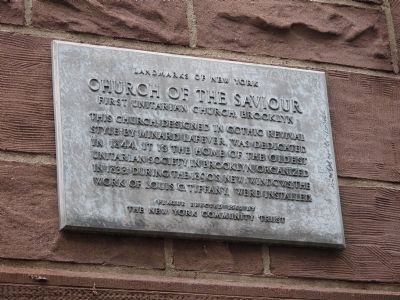
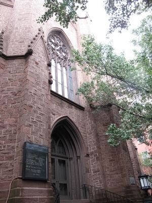
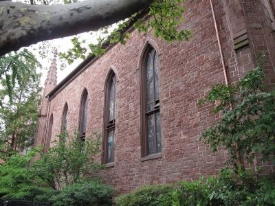
Church of the Saviour
First Unitarian Church Brooklyn
Erected 1962 by New York Community Trust.
Topics and series. This historical marker is listed in these topic lists: Architecture • Churches & Religion. In addition, it is included in the Unitarian Universalism (UUism) series list. A significant historical year for this entry is 1844.
Location. 40° 41.713′ N, 73° 59.568′ W. Marker is in Brooklyn, New York, in Kings County. It is in Brooklyn Heights. Marker is at the intersection of Pierrepont Street and Monroe Place on Pierrepont Street. Touch for map. Marker is at or near this postal address: 48 Monroe Place, Brooklyn NY 11201, United States of America. Touch for directions.
Other nearby markers. At least 8 other markers are within walking distance of this marker. Brooklyn Heights Historic District (within shouting distance of this marker); Stanley A. Bosworth (within shouting distance of this marker); The Brooklyn Historical Society (within shouting distance of this marker); Henry Miller (about 600 feet away, measured in a direct line); Korean War Veterans Plaza (about 700 feet away); Where the Dodgers Made Baseball History and Jackie Robinson Changed America (about 700 feet away); United States Post Office (about 700 feet away); Henry Ward Beecher (about 800 feet away). Touch for a list and map of all markers in Brooklyn.
Regarding Church of the Saviour. In 1848, when the Universalist church was destroyed in a fire, the Church of the Saviour invited that congregation to worship at that site.
Additional keywords. First Unitarian Congregational Society
Credits. This page was last revised on January 31, 2023. It was originally submitted on July 29, 2010, by Daniele Gates of Brooklyn, New York. This page has been viewed 1,006 times since then and 15 times this year. Photos: 1, 2, 3. submitted on July 29, 2010, by Daniele Gates of Brooklyn, New York. • Kevin W. was the editor who published this page.


