Hanceville in Cullman County, Alabama — The American South (East South Central)
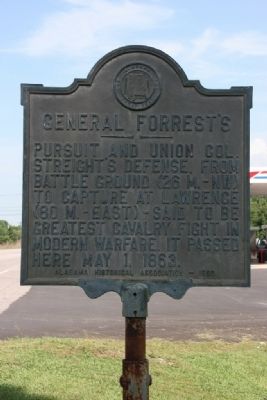
General Forrest’s
Erected 1950 by Alabama Historical Association.
Topics and series. This historical marker is listed in this topic list: War, US Civil. In addition, it is included in the Alabama Historical Association series list. A significant historical month for this entry is May 1888.
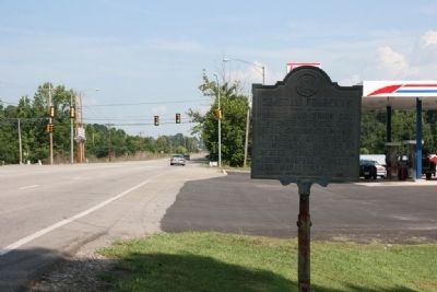
Location. 34° 5.283′ N, 86° 47.717′ W. Marker is in Hanceville, Alabama, in Cullman County. Marker is on County Road 31 south of Day Gap Road, on the right when traveling north. Touch for map. Marker is at or near this postal address: 7400 US 31, Hanceville AL 35077, United States of America. Touch for directions.
Other nearby markers. At least 8 other markers are within 7 miles of this marker, measured as the crow flies. History of a Name (approx. 2.4 miles away); Bent But Not Broken (approx. 5.4 miles away); The Little School House (approx. 5.7 miles away); Colonel John G. Cullmann (approx. 6 miles away); The Ave Maria Grotto (approx. 6.3 miles away); St. John’s Evangelical Protestant Church (approx. 6.4 miles away); Sand Mountain Plateau (approx. 6˝ miles away); Weiss Cottage (approx. 6˝ miles away). Touch for a list and map of all markers in Hanceville.
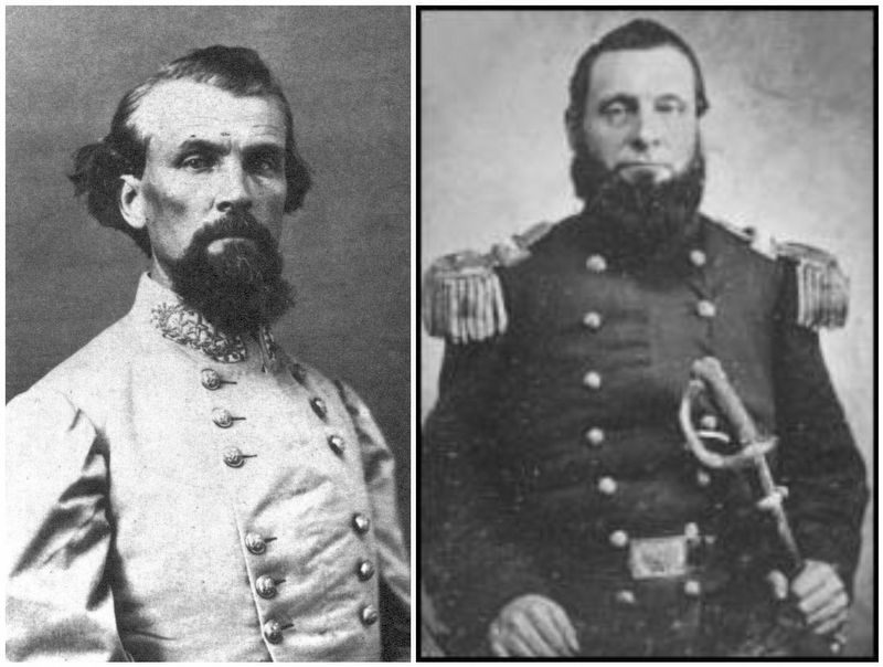
Also see . . . Encyclopedia of Alabama Streight's Raid. (Submitted on March 3, 2017, by Mark Hilton of Montgomery, Alabama.)
Credits. This page was last revised on March 7, 2017. It was originally submitted on July 31, 2010, by Timothy Carr of Birmingham, Alabama. This page has been viewed 1,792 times since then and 84 times this year. Photos: 1, 2. submitted on July 31, 2010, by Timothy Carr of Birmingham, Alabama. 3. submitted on March 3, 2017, by Mark Hilton of Montgomery, Alabama. • Craig Swain was the editor who published this page.


