Near Cullman in Cullman County, Alabama — The American South (East South Central)
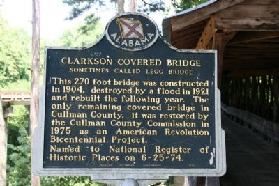
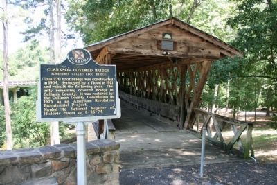
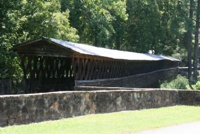
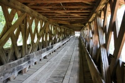
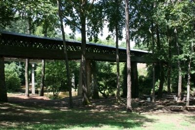
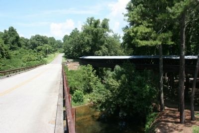
Clarkson Covered Bridge
Sometimes Called Legg Bridge
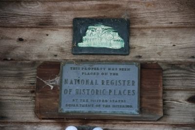
Named to National Register of Historic Places on 6-25-74.
Erected 1975 by Alabama Historical Association.
Topics and series. This historical marker is listed in this topic list: Bridges & Viaducts. In addition, it is included in the Alabama Historical Association, and the Covered Bridges series lists. A significant historical year for this entry is 1904.
Location. 34° 12.417′ N, 86° 59.417′ W. Marker is near Cullman, Alabama, in Cullman County. Marker can be reached from County Road 1043 west of County Road 1117. Touch for map. Marker is in this post office area: Cullman AL 35057, United States of America. Touch for directions.
Other nearby markers. At least 8 other markers are within 2 miles of this marker, measured as the crow flies. Land-Use and Water Quality (within shouting distance of this marker); Alabama's Physical Diversity (within shouting distance of this marker); Alabama's Aquatic Biodiversity (within shouting distance of this marker); What happens to my wastewater? (within shouting distance of this marker); Where does your drinking water come from? (within shouting distance of this marker); Birds of Alabama (within shouting distance of this marker); Streight’s Raid (approx. 1.9 miles away); a different marker also named Streight’s Raid (approx. 1.9 miles away). Touch for a list and map of all markers in Cullman.
More about this marker. The Clarkson Covered Bridge and Park is located about 17 miles west of Interstate 65. Take U.S. Highway 278 West to County Road 1117 turn right then go 1/2 mile turn left onto County Road 1043. Go about another 1/2 mile, bridge and park are on the right.
Credits. This page was last revised on June 16, 2016. It was originally submitted on August 1, 2010, by Timothy Carr of Birmingham, Alabama. This page has been viewed 2,041 times since then and 44 times this year. Photos: 1, 2, 3, 4, 5, 6, 7. submitted on August 1, 2010, by Timothy Carr of Birmingham, Alabama. • Syd Whittle was the editor who published this page.
