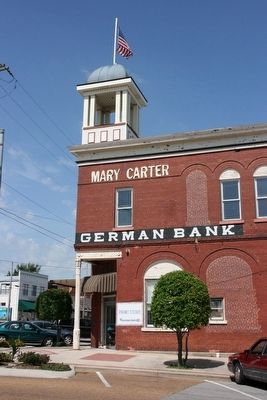
Cullman in Cullman County, Alabama — The American South (East South Central)
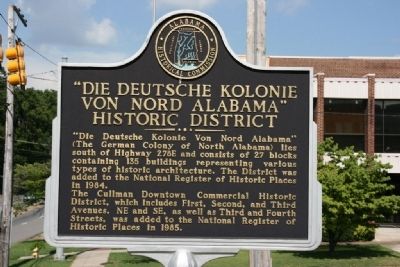
“Die Deutsche Kolonie Von Nord Alabama”
Historic District
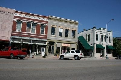
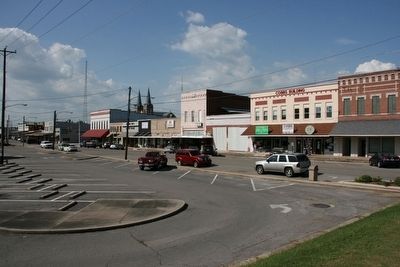
The Cullman Downtown Commercial Historic District, which includes First, Second, and Third Avenues, NE and SE, as well as Third and Fourth Streets, was added to the National Register of Historic Places in 1985.
Erected by Alabama Historical Commission.
Topics and series. This historical marker is listed in this topic list: Settlements & Settlers. In addition, it is included in the Alabama Historical Commission series list. A significant historical year for this entry is 1984.
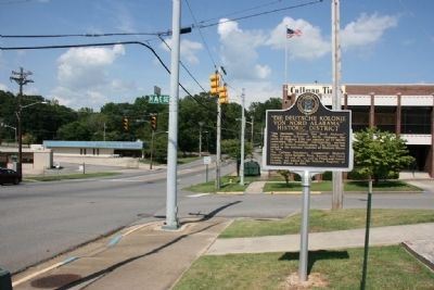
Location. 34° 10.6′ N, 86° 50.317′ W. Marker is in Cullman, Alabama, in Cullman County. Marker is at the intersection of 3rd Street Northeast (U.S. 278) and 4th Avenue Southeast, on the right when traveling east on 3rd Street Northeast. Located next to the First United Methodist Church. Touch for map. Marker is at or near this postal address: 320 3rd Street Northeast, Cullman AL 35055, United States of America. Touch for directions.
Other nearby markers. At least 8 other markers are within walking distance of this marker. Betz Addition Historic District (about 800 feet away, measured in a direct line); Sand Mountain Plateau (approx. 0.2 miles away); Ernest E. Greene Home (approx. 0.2 miles away); Weiss Cottage (approx. ¼ mile away); St. John’s Evangelical Protestant Church (approx. ¼ mile away); Johann Gottfried Cullmann (approx. 0.3 miles away); Cullman, Alabama (approx. 0.4 miles away); Cullman Railroad Depot (approx. 0.4 miles away). Touch for a list and map of all markers in Cullman.
Credits. This page was last revised on September 29, 2020. It was originally submitted on August 1, 2010, by Timothy Carr of Birmingham, Alabama. This page has been viewed 1,802 times since then and 48 times this year. Photos: 1, 2, 3, 4, 5. submitted on August 1, 2010, by Timothy Carr of Birmingham, Alabama. • Syd Whittle was the editor who published this page.
