
Rivertown - Warehouse District in Detroit in Wayne County, Michigan — The American Midwest (Great Lakes)
Glimpses of Detroit's Riverfront History
St. Aubin Park Riverwalk
Photographed by Joel S., July 10, 2010
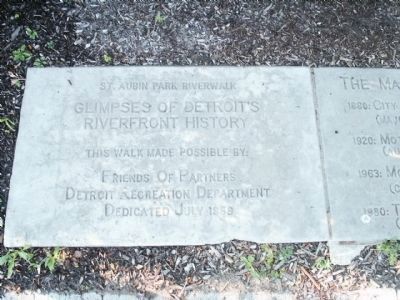
1. Glimpses of Detroit's Riverfront History Marker - Stone 1
Stone 1:
Glimpses of Detroit's Riverfront History
This walk made possible by:
Friends of Partners
Detroit Recreation Department
Dedicated July 1969
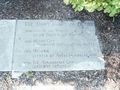
Stone 2:
1920: Motor City (Automotive Capital of the World)
1963: Motown (Center of American Popular Music)
1980: The Renaissance City (Gateway to 21st Century)
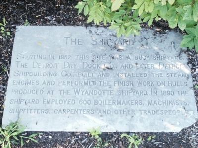
Stone 3:
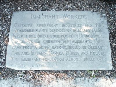
Stone 4:
this page online
Stone 5:
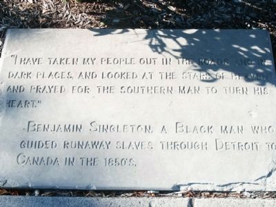
"I have taken my people out in the roads and in dark places, and looked at the stars of heaven and prayed for the southern man to turn his heart."
-Benjamin Singleton, a Black man who guided runaway slaves through Detroit to Canada in the 1850's.
Erected 1969 by Friends of Partners - Detroit Recreation Department.
Topics. This historical marker is listed in these topic lists: Industry & Commerce • Waterways & Vessels. A significant historical year for this entry is 1969.
Location. 42° 20.016′ N, 83° 1.512′ W. Marker is in Detroit, Michigan, in Wayne County. It is in the Rivertown - Warehouse District. It can be reached from Atwater Street west of St. Aubin Street, on the right when traveling east. Touch for map. Marker is at or near this postal address: 1900 Atwater Street, Detroit MI 48207, United States of America. Touch for directions.

Regionally, this marker is in Southeast Michigan. It is also in the American Midwest. Globally, it is in North America, on the Great Lakes, in the Western Hemisphere, in the Western World, and in the Anglosphere. Historically, it finds itself in what was
Photographed by Joel S., July 10, 2010
2. Glimpses of Detroit's Riverfront History Marker - Stone 2
Other nearby markers. At least 8 other markers are within walking distance of this marker: The Black Presence in Detroit (about 300 feet away, measured in a direct line); Chapman Abraham / Jewish Soldiers in the Civil War (about 400 feet away); Moross House (approx. 0.3 miles away); Peter Wetherill Stroh (approx. 0.4 miles away); St. John's Presbyterian Church (approx. half a mile away); Black Bottom (approx. half a mile away); Fannie Richards Homesite (approx. half a mile away); WGPR-TV (approx. 0.6 miles away). Touch for a list and map of all markers in Detroit.
Photographed by Joel S., July 10, 2010
3. Glimpses of Detroit's Riverfront History Marker - Stone 3
Photographed by Joel S., July 10, 2010
4. Glimpses of Detroit's Riverfront History Marker - Stone 4
Photographed by Joel S., July 10, 2010
5. Glimpses of Detroit's Riverfront History Marker - Stone 5
Photographed by Joel S., July 10, 2010
6. Glimpses of Detroit's Riverfront History Markers
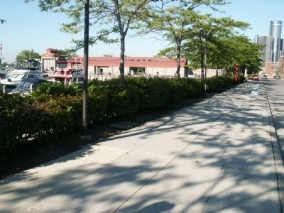
Markers are in the dirt next to the sidewalk.
Photographed by Joel S., July 10, 2010
7. William G. Milliken State Park Harbor
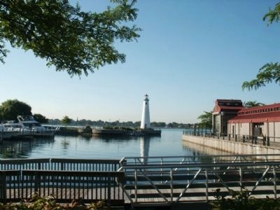
Markers are on the sidewalk along Atwater Street and next to the state park harbor.
Credits. This page was last revised on February 12, 2023. It was originally submitted on August 3, 2010, by Joel Seewald of Madison Heights, Michigan. This page has been viewed 1,912 times since then and 53 times this year. Photos: 1, 2, 3, 4, 5, 6, 7. submitted on August 3, 2010, by Joel Seewald of Madison Heights, Michigan. • Syd Whittle was the editor who published this page.
