Ray Township in Macomb County, Michigan — The American Midwest (Great Lakes)
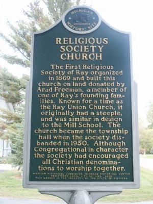
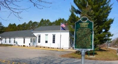
Religious Society Church
Erected 2002 by Michigan Historical Commission, Michigan Historical Center. (Marker Number L1389.)
Topics and series. This historical marker is listed in this topic list: Churches & Religion. In addition, it is included in the Michigan Historical Commission series list. A significant historical year for this entry is 1869.
Location. 42° 46.191′ N, 82° 55.71′ W. Marker is near Ray, Michigan, in Macomb County. It is in Ray Township. Marker is on Wolcott Road, on the left when traveling north. Touch for map. Marker is at or near this postal address: 64255 Wolcott Road, Ray MI 48096, United States of America. Touch for directions.
Other nearby markers. At least 8 other markers are within 5 miles of this marker, measured as the crow flies. Ray Township District No. 1 School (here, next to this marker); Millstones (approx. 0.2 miles away); Wolcott Mill (approx. ¼ mile away); First Methodist Episcopal Church (approx. 3.1 miles away); Crawford Settlement Burying Ground (approx. 4.8 miles away); Helen Starkweather (approx. 4.9 miles away); From the Foundry Fires (approx. 4.9 miles away); Wooden Wheels (approx. 4.9 miles away). Touch for a list and map of all markers in Ray.
Credits. This page was last revised on February 7, 2023. It was originally submitted on August 4, 2010, by Joel Seewald of Madison Heights, Michigan. This page has been viewed 734 times since then and 6 times this year. Photos: 1. submitted on August 4, 2010, by Joel Seewald of Madison Heights, Michigan. 2, 3, 4. submitted on April 25, 2014, by Bill Boushelle of Tucson, Arizona. • Syd Whittle was the editor who published this page.
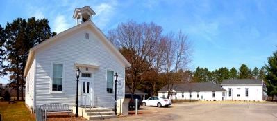
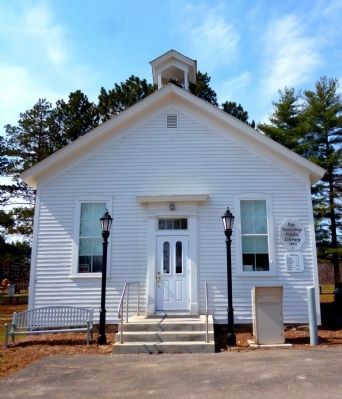
Editor’s want-list for this marker. Wide area view of the marker and its surroundings. • Picture of the church building. • Can you help?


