Near Apache Junction in Maricopa County, Arizona — The American Mountains (Southwest)
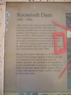
Roosevelt Dam
1989 – 1996
— Tonto National Forest —
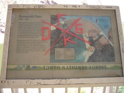
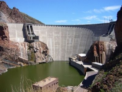
After nearly nine years of work, $430 million in construction cost, 450,000 cubic yards of concrete, and 849 miles of reinforcing steel, another vivid chapter in Arizona history has been rewritten. Modifications to Roosevelt Dam were required because it was determined that the largest probable flood that could flow into the reservoir was far greater than originally thought possible when the dam was designed and constructed in the early 1900s.
Raising the height of the dam by 77 feet has increased the storage capacity of Roosevelt Lake by 20 percent, for a total of more than 1.8 million acre-feet. An acre-foot is the amount of water it would take to cover an acre of land to a depth of one foot, about 325,851 gallons. This is roughly the amount of water used by a family of four in one year.
Inset:
Arch Height - 357 feet
Top Width - 21.6 feet
Maximum Base Width - 196 feet
Generating Capacity - 36 megawatts
Spillway Capacity - 150,000 cubic feet per second
Lake Capacity - 1,802,202 acre-feet
Lake Surface - 19,199 acres
Erected by Forest Service, U.S. Department of Agriculture.
Topics. This historical marker is listed in these topic lists: Charity & Public Work • Industry & Commerce • Waterways & Vessels. A significant historical year for this entry is 1989.
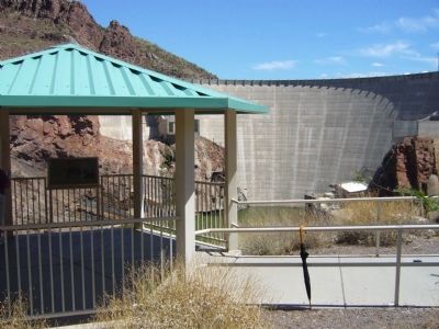
Location. 33° 40.138′ N, 111° 9.827′ W. Marker is near Apache Junction, Arizona, in Maricopa County. Marker can be reached from The Apache Trail (Arizona Route 88 at milepost 241). Marker is at an overlook, about 300 feet down a sidewalk from the parking lot at milepost 241. Touch for map. Marker is in this post office area: Apache Junction AZ 85119, United States of America. Touch for directions.
Other nearby markers. At least 8 other markers are within walking distance of this marker. A different marker also named Roosevelt Dam (here, next to this marker); The People Who Made It Happen (here, next to this marker); Alchesay (about 300 feet away, measured in a direct line); Welcome to the Apache Trail Historic Road (about 500 feet away); The Bridge (approx. 0.3 miles away); Tonto Basin (approx. 0.3 miles away); Salt River Before the Dam (approx. 0.3 miles away); Al Sieber (approx. 0.7 miles away). Touch for a list and map of all markers in Apache Junction.
Related markers. Click here for a list of markers that are related to this marker. To better understand the relationship, study each marker in the order shown.
Credits. This page was last revised on August 16, 2020. It was originally submitted on August 6, 2010, by Bill Kirchner of Tucson, Arizona. This page has been viewed 1,074 times since then and 26 times this year. Photos: 1, 2, 3, 4. submitted on August 6, 2010, by Bill Kirchner of Tucson, Arizona. • Syd Whittle was the editor who published this page.


