Near Roosevelt in Gila County, Arizona — The American Mountains (Southwest)
Salt River Before the Dam
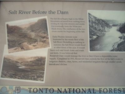
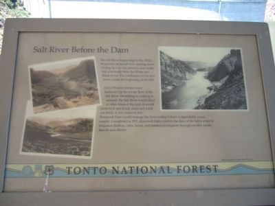
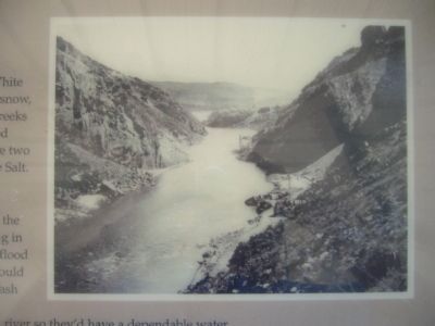
Early Phoenix farmers were frustrated by the erratic flow of the Salt River. Dwindling to nothing in summer, the Salt River would flood at other times of the year. It would burst rock and brush dams and wash out fields. It was believed that Roosevelt Dam would manage the river so they'd have a dependable water supply. Completed in 1911, Roosevelt Dam controls the flow of the Salt's water to irrigation districts, cities, farms, and residential irrigators through smaller canals, laterals and ditches.
Erected by Tonto National Forest.
Topics. This historical marker is listed in this topic list: Waterways & Vessels. A significant historical year for this entry is 1911.
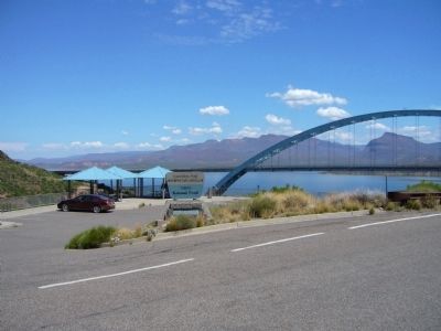
Location. 33° 40.301′ N, 111° 9.532′ W. Marker is near Roosevelt, Arizona, in Gila County. Marker is on The Apache Trail (Arizona Route 88 at milepost 242), on the right when traveling west. Marker is at Inspiration Point Overlook. Touch for map. Marker is in this post office area: Roosevelt AZ 85545, United States of America. Touch for directions.
Other nearby markers. At least 8 other markers are within walking distance of this marker. Tonto Basin (here, next to this marker); The Bridge (here, next to this marker); Welcome to the Apache Trail Historic Road (approx. 0.3 miles away); Alchesay (approx. 0.3 miles away); Roosevelt Dam (approx. 0.3 miles away); a different marker also named Roosevelt Dam (approx. 0.3 miles away); The People Who Made It Happen (approx. 0.3 miles away); Al Sieber (approx. 0.6 miles away). Touch for a list and map of all markers in Roosevelt.
Credits. This page was last revised on June 16, 2016. It was originally submitted on August 6, 2010, by Bill Kirchner of Tucson, Arizona. This page has been viewed 1,540 times since then and 81 times this year. Photos: 1, 2, 3, 4. submitted on August 6, 2010, by Bill Kirchner of Tucson, Arizona. • Syd Whittle was the editor who published this page.


