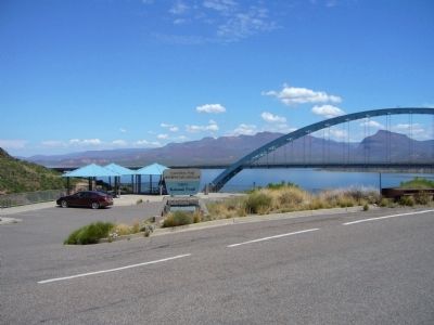
Near Roosevelt in Gila County, Arizona — The American Mountains (Southwest)
Tonto Basin
Roosevelt Lake's Watershed
— Tonto National Forest —
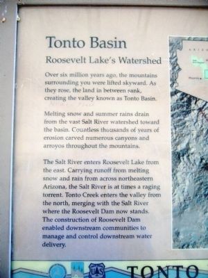
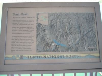
Melting snow and summer rains drain from the vast Salt River watershed toward the basin. Countless thousands of years of erosion carved numerous canyons and arroyos throughout the mountains.
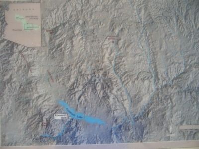
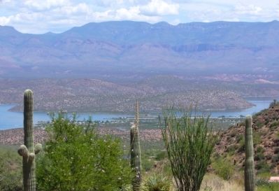
The Salt River enters Roosevelt Lake from the east. Carrying runoff from melting snow and rain from across northeastern Arizona, the Salt River is at times a raging torrent. Tonto Creek enters the valley from the north, merging with the Salt River where the Roosevelt Dam now stands. The construction of Roosevelt Dam enabled downstream communities to manage and control downstream water delivery.
Erected by Forest Service, U.S. Department of Agriculture.
Topics. This historical marker is listed in this topic list: Waterways & Vessels.
Location. 33° 40.302′ N, 111° 9.532′ W. Marker is near Roosevelt, Arizona, in Gila County. Marker is on The Apache Trail (Arizona Route 88 at milepost 242), on the right when traveling west. Marker is at Inspiration Point Overlook. Touch for map. Marker is in this post office area: Roosevelt AZ 85545, United States of America. Touch for directions.
Other nearby markers. At least 8 other markers are within walking distance of this marker. Salt River Before the Dam (here, next to this marker); The Bridge (here, next to this marker); Welcome to the Apache Trail Historic Road (approx. 0.3 miles away); Alchesay (approx. 0.3 miles away); Roosevelt Dam (approx. 0.3 miles away); a different marker also named Roosevelt Dam (approx. 0.3 miles away); The People Who Made It Happen (approx. 0.3 miles away); Al Sieber (approx. 0.6 miles away). Touch for a list and map of all markers in Roosevelt.
Credits. This page was last revised on August 16, 2020. It was originally submitted on August 6, 2010, by Bill Kirchner of Tucson, Arizona. This page has been viewed 1,138 times since then and 25 times this year. Photos: 1, 2, 3, 4, 5. submitted on August 6, 2010, by Bill Kirchner of Tucson, Arizona. • Syd Whittle was the editor who published this page.
