Shawnee Springs near Springfield in Clark County, Ohio — The American Midwest (Great Lakes)
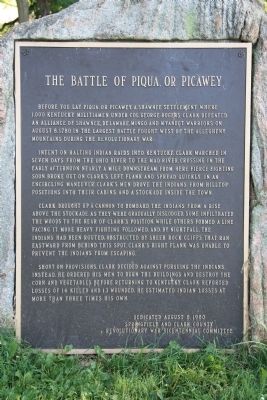
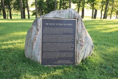
The Battle of Piqua, or Picawey
Intent on halting Indian raids into Kentucky, Clark marched in seven days from the Ohio River to the Mad River. Crossing in the early afternoon nearly a mile downstream from here fierce fighting soon broke out on Clark's left flank and spread quickly in an encircling maneuver. Clark's men drove the Indians from hilltop positions into their cabins and a stockade inside the town.
Clark brought up a cannon to bombard the Indians from a rise above the stockade as they were gradually dislodged. Some infiltrated the woods to the rear of Clark's position, while others formed a line facing it. More heavy fighting followed and by nightfall the Indians had been routed. Obstructed by sheer rock cliffs that ran eastward from behind this spot. Clark's right flank was unable to prevent the Indians from escaping.
Short on provisions, Clark decided against pursuing the Indians. Instead, he ordered his men to burn the buildings and destroy the corn and vegetables before returning to Kentucky. Clark reported losses of 14 killed and 13 wounded. He estimated Indian losses at more than three times his own.
Erected 1980 by Springfield and Clark County Revolutionary War Bicentennial Committee.
Topics. This historical marker is listed in these topic lists: Native Americans • War, US Revolutionary. A significant historical year for this entry is 1780.
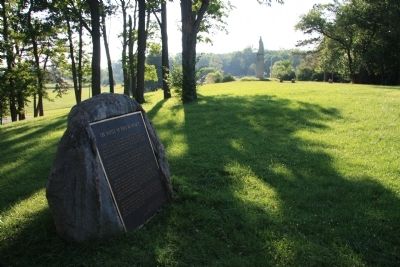
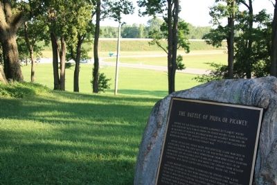
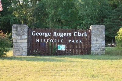
Location. 39° 54.565′ N, 83° 54.699′ W. Marker is near Springfield, Ohio, in Clark County. It is in Shawnee Springs. Marker can be reached from Tecumseh Road (Ohio Route 369) 0.2 miles north of Ohio Route 4. This historical marker is located in George Rogers Clark Historical Park, and is situated off of the beaten path, between the Hertzler House and the George Rogers Clark Monument. Touch for map. Marker is in this post office area: Springfield OH 45506, United States of America. Touch for directions.
Other nearby markers. At least 8 other markers are within 2 miles of this marker, measured as the crow flies. The Keifer Cabin Site (a few steps from this marker); General George Rogers Clark / Tecumseh (within shouting distance of this marker); a different marker also named The Battle of Piqua (about 400 feet away, measured in a direct line); Peckuwe Shawnee Memorial (about 400 feet away); Tecumseh (approx. 0.3 miles away); In Memory of Those Men Who Died in the Battle of Piqua (approx. 0.3 miles away); a different marker also named Battle of Piqua (approx. 0.4 miles away); Enon Civil War Memorial (approx. 2.1 miles away). Touch for a list and map of all markers in Springfield.
Also see . . .
1. George Rogers Clark Historical Park. This is a link to information provided by the Clark County Park District. (Submitted on August 9, 2010, by Dale K. Benington of Toledo, Ohio.)
2. George Rogers Clark. This is a link to information provided by Wikipedia, the free encyclopedia. (Submitted on August 9, 2010, by Dale K. Benington of Toledo, Ohio.)
Credits. This page was last revised on February 7, 2023. It was originally submitted on August 8, 2010, by Dale K. Benington of Toledo, Ohio. This page has been viewed 1,598 times since then and 37 times this year. Photos: 1, 2, 3. submitted on August 8, 2010, by Dale K. Benington of Toledo, Ohio. 4, 5. submitted on August 9, 2010, by Dale K. Benington of Toledo, Ohio.
