Near Millston in Jackson County, Wisconsin — The American Midwest (Great Lakes)
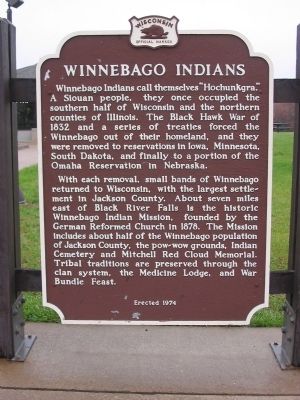
Winnebago Indians
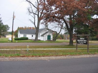
With each removal, small bands of Winnebago returned to Wisconsin, with the largest settlement in Jackson County. About seven miles east of Black River Falls is the historic Winnebago Indian Mission, founded by the German Reformed Church in 1878. The Mission includes about half of the Winnebago population of Jackson County, the pow-wow grounds, Indian Cemetery and Mitchell Red Cloud Memorial. Tribal traditions are preserved through the clan system, the Medicine Lodge, and War Bundle Feast.
Erected 1974 by the Wisconsin Historical Society. (Marker Number 203.)
Topics and series. This historical marker is listed in this topic list: Native Americans. In addition, it is included in the Wisconsin Historical Society series list. A significant historical year for this entry is 1832.
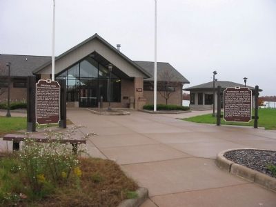
Location. 44° 13.574′ N, 90° 42.467′ W. Marker is near Millston, Wisconsin , in Jackson County. Marker can be reached from Interstate 94 at milepost 124, on the right when traveling east. Marker is northwest of Millston at eastbound Rest Area 53. Touch for map. Marker is in this post office area: Millston WI 54643, United States of America. Touch for directions.
Other nearby markers. At least 8 other markers are within 8 miles of this marker, measured as the crow flies. Sphagnum Moss (a few steps from this marker); Black River Valley (approx. 2.1 miles away); Highground Veterans Memorial (approx. 2.1 miles away); Black River Falls Forest Fire (approx. 2.1 miles away); The Passenger Pigeon (approx. 2.1 miles away); Shamrock (approx. 6.1 miles away); Martin W. Torkelson (approx. 6.6 miles away); Mitchell Red Cloud, Jr. (approx. 7.7 miles away).
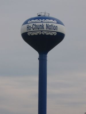
Also see . . . Ho-Chunk Nation. (Submitted on November 9, 2007.)
Credits. This page was last revised on June 16, 2016. It was originally submitted on November 9, 2007, by Keith L of Wisconsin Rapids, Wisconsin. This page has been viewed 3,014 times since then and 46 times this year. Photos: 1, 2, 3, 4. submitted on November 9, 2007, by Keith L of Wisconsin Rapids, Wisconsin. • J. J. Prats was the editor who published this page.


