Santa Ysabel in San Diego County, California — The American West (Pacific Coastal)
Inaja Forest Fire
November 25, 1956
— In honor of the men who lost their lives —
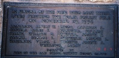
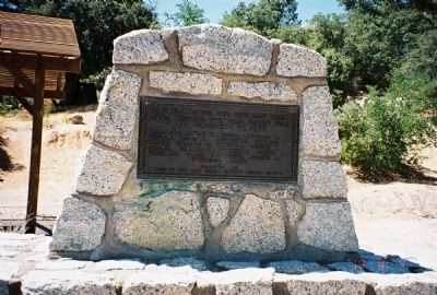
In honor of the men who lost their lives fighting the Inaja Forest Fire on November 25, 1956
Daniels, Miles F.
Fallin, William D.
Garcia, George R.
Hamilton, Virgil L.
Lingo, Carlton R.
Maxwell, Forrest
O'Hara, Joseph P.
Shepherd, Lonnie L.
Tibbetts, Joseph A.
Wehring, LeRoy
Erected by Men of the San Diego County Honor Camps.
Topics. This historical marker is listed in this topic list: Notable Events. A significant historical month for this entry is November 1861.
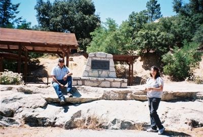
Location. 33° 5.927′ N, 116° 39.911′ W. Marker is in Santa Ysabel, California, in San Diego County. Marker is on California Route 78, 1.1 miles California Route 79, on the right. This marker is approximatly 5.5 miles west of Julian California. The approach to the monument is well signed. Touch for map. Marker is in this post office area: Santa Ysabel CA 92070, United States of America. Touch for directions.
Other nearby markers. At least 8 other markers are within 4 miles of this marker, measured as the crow flies. Santa Ysabel Asistencia Site (approx. 2.3 miles away); Pioneer Cemetery (approx. 3.8 miles away); Bailey House (approx. 3.8 miles away); Julian Pioneer Museum (approx. 3.9 miles away); Honoring Black Pioneers of Julian (approx. 3.9 miles away); Jacoby Building (approx. 3.9 miles away); Julian (approx. 3.9 miles away); Santa Ysabel School (approx. 3.9 miles away).
Also see . . .
1. The Inaja Forest Fire Disaster. Colorado Firecamp entry. (Submitted on October 1, 2020, by Larry Gertner of New York, New York.)
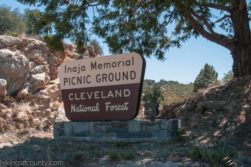
2. Cleveland National Forest Inaja Memorial Trail. (Submitted on August 12, 2010.)
Credits. This page was last revised on March 14, 2022. It was originally submitted on August 12, 2010. This page has been viewed 886 times since then and 27 times this year. Photos: 1, 2, 3. submitted on August 12, 2010. 4. submitted on October 1, 2020, by Larry Gertner of New York, New York. • Syd Whittle was the editor who published this page.


