Near Hillsboro in Pocahontas County, West Virginia — The American South (Appalachia)
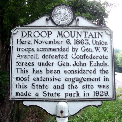
Droop Mountain
Erected by State of West Virginia.
Topics and series. This historical marker is listed in this topic list: War, US Civil. In addition, it is included in the Battlefield Trails - Civil War, and the West Virginia Archives and History series lists. A significant historical date for this entry is November 6, 1863.
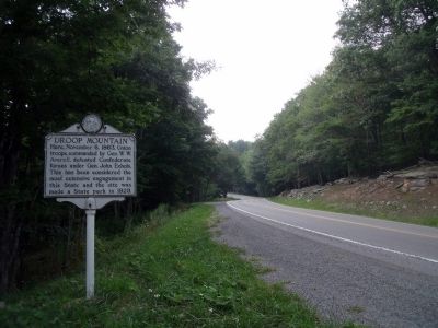
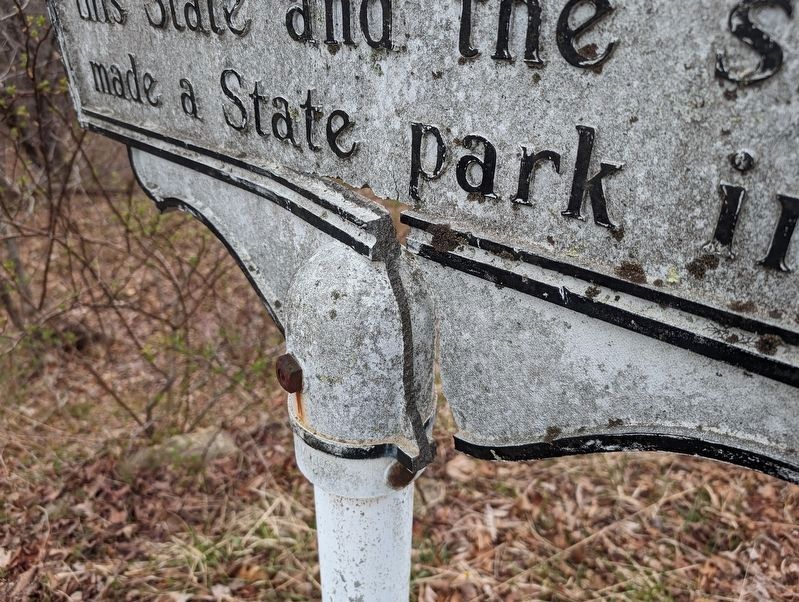
Location. 38° 6.544′ N, 80° 16.131′ W. Marker has been damaged. Marker is near Hillsboro, West Virginia, in Pocahontas County. Marker is on Seneca Trail (U.S. 219) 0.2 miles north of Delta Road 18, on the right when traveling north. Touch for map. Marker is in this post office area: Hillsboro WV 24946, United States of America. Touch for directions.
Other nearby markers. At least 8 other markers are within walking distance of this location. Major Robert Augustus Bailey (a few steps from this marker); 14th Pennsylvania Cavalry (approx. 0.3 miles away); 10 Lb. Parrott Rifle (approx. 0.3 miles away); The Battle At Droop Mountain (approx. 0.3 miles away); a different marker also named The Battle At Droop Mountain (approx. 0.3 miles away); Lieut. Henry Bender (approx. 0.3 miles away); John D. Baxter (approx. 0.3 miles away); White Oak (approx. 0.4 miles away). Touch for a list and map of all markers in Hillsboro.
Related markers. Click here for a list of markers that are related to this marker. Battle of Droop Mountain by Markers.
Also see . . .
1. Droop Mountain Battlefield State Park. (Submitted on August 14, 2010.)
2. Droop Mountain. American Battlefield Trust (Submitted on August 14, 2010.)
3. Droop Mountain Battlefield (pdf file). National Register of Historic Places (Submitted on August 16, 2010.)
Credits. This page was last revised on March 29, 2024. It was originally submitted on August 14, 2010, by Bernard Fisher of Richmond, Virginia. This page has been viewed 922 times since then and 30 times this year. Photos: 1, 2. submitted on August 14, 2010, by Bernard Fisher of Richmond, Virginia. 3. submitted on March 29, 2024, by Mike Wintermantel of Pittsburgh, Pennsylvania.


