Huttonsville in Randolph County, West Virginia — The American South (Appalachia)
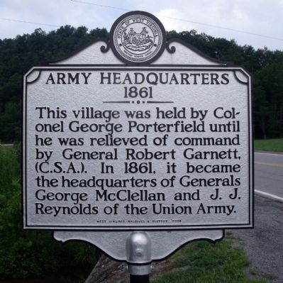
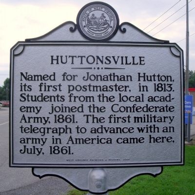
Army Headquarters 1861 / Huttonsville
1861
Erected 2008 by West Virginia Department Archives & History.
Topics and series. This historical marker is listed in these topic lists: Communications • Settlements & Settlers • War, US Civil. In addition, it is included in the West Virginia Archives and History series list. A significant historical month for this entry is July 1861.
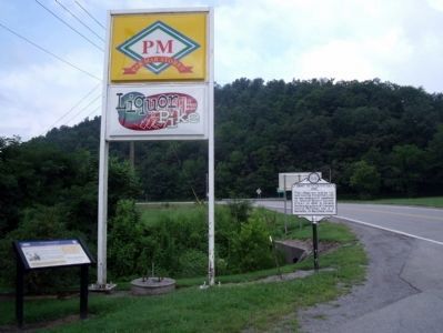
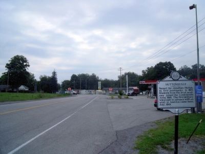
Location. Marker has been reported missing. It was located near 38° 42.648′ N, 79° 58.802′ W. Marker was in Huttonsville, West Virginia, in Randolph County. Marker was at the intersection of Seneca Trail (U.S. 219) and Staunton-Parkersburg Turnpike (U.S. 250) on Seneca Trail. Touch for map. Marker was in this post office area: Huttonsville WV 26273, United States of America. Touch for directions.
Other nearby markers. At least 8 other markers are within 7 miles of this location, measured as the crow flies. Huttonsville (a few steps from this marker); a different marker also named Huttonsville (a few steps from this marker); Bishop Asbury (approx. half a mile away); Old Brick Church (approx. one mile away); Elkwater / Col. J. A. Washington (approx. 6.2 miles away); Camp Elkwater (approx. 6.2 miles away); Tygart Valley Homesteads (approx. 6.8 miles away); West Virginia Historic New Deal / CCC Trail (approx. 6.8 miles away). Touch for a list and map of all markers in Huttonsville.
Credits. This page was last revised on April 22, 2020. It was originally submitted on August 14, 2010, by Bernard Fisher of Richmond, Virginia. This page has been viewed 1,122 times since then and 65 times this year. Photos: 1, 2, 3, 4. submitted on August 14, 2010, by Bernard Fisher of Richmond, Virginia.


