Near Hillsboro in Pocahontas County, West Virginia — The American South (Appalachia)
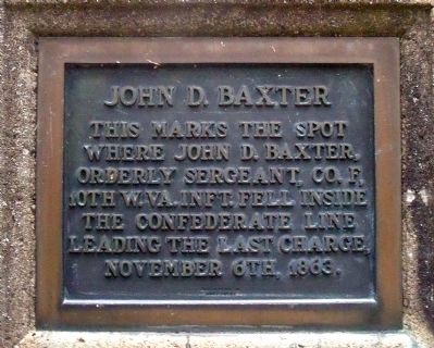
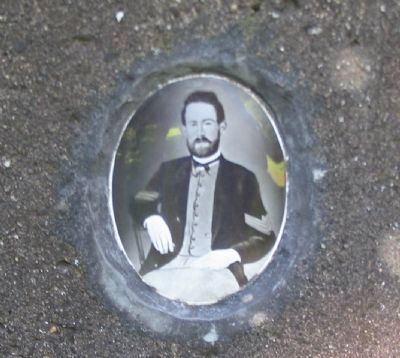
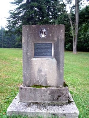
John D. Baxter
Topics. This historical marker is listed in this topic list: War, US Civil. A significant historical date for this entry is November 6, 1863.
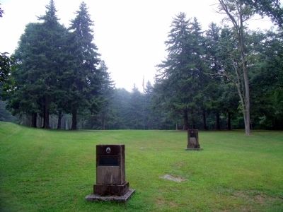
Location. 38° 6.833′ N, 80° 16.182′ W. Marker is near Hillsboro, West Virginia, in Pocahontas County. Marker can be reached from Seneca Trail (U.S. 219) near George Hill Road (County Route 24/1). This monument is located near the Park Headquarters in Droop Mountain Battlefield State Park. Touch for map. Marker is in this post office area: Hillsboro WV 24946, United States of America. Touch for directions.
Other nearby markers. At least 8 other markers are within walking distance of this marker. Lieut. Henry Bender (here, next to this marker); White Oak (within shouting distance of this marker); The Battle At Droop Mountain (within shouting distance of this marker); The Battle of Droop Mountain (about 300 feet away, measured in a direct line); 23rd Battalion Virginia Infantry (about 300 feet away); 10 Lb. Parrott Rifle (about 700 feet away); 8th West Virginia Mounted Infantry (approx. 0.2 miles away); 2nd West Virginia Mounted Infantry (approx. 0.2 miles away). Touch for a list and map of all markers in Hillsboro.
Also see . . .
1. Droop Mountain Battlefield State Park. (Submitted on August 14, 2010.)
2. Droop Mountain . American Battlefield Trust (Submitted on August 14, 2010.)
Credits. This page was last revised on November 14, 2021. It was originally submitted on August 14, 2010, by Bernard Fisher of Richmond, Virginia. This page has been viewed 690 times since then and 19 times this year. Photos: 1. submitted on August 14, 2010, by Bernard Fisher of Richmond, Virginia. 2. submitted on August 15, 2010, by Craig Swain of Leesburg, Virginia. 3, 4. submitted on August 14, 2010, by Bernard Fisher of Richmond, Virginia.


