Valley Head in Randolph County, West Virginia — The American South (Appalachia)
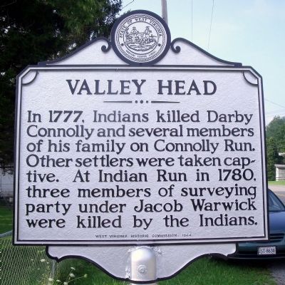
Valley Head
Erected 1964 by West Virginia Historic Commission.
Topics and series. This historical marker is listed in this topic list: Native Americans. In addition, it is included in the West Virginia Archives and History series list. A significant historical year for this entry is 1777.
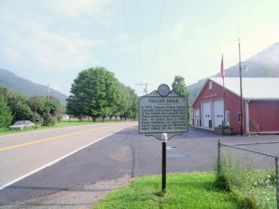
Location. 38° 32.838′ N, 80° 2.123′ W. Marker is in Valley Head, West Virginia, in Randolph County. Marker is at the intersection of Seneca Trail (U.S. 219) and Conley Run Road (County Route 64), on the right when traveling north on Seneca Trail. Touch for map. Marker is in this post office area: Valley Head WV 26294, United States of America. Touch for directions.
Other nearby markers. At least 8 other markers are within 9 miles of this marker, measured as the crow flies. The Conley Graves (approx. 2 miles away); Big Lime (approx. 2.3 miles away); Mingo Flats (approx. 3.9 miles away); Camp Elkwater (approx. 5.6 miles away); Elkwater / Col. J. A. Washington (approx. 5.6 miles away); Lee's Headquarters (approx. 5.7 miles away); Pocahontas County / Randolph County (approx. 6.1 miles away); Webster County / Randolph County (approx. 8.6 miles away). Touch for a list and map of all markers in Valley Head.
Credits. This page was last revised on June 16, 2016. It was originally submitted on August 15, 2010, by Bernard Fisher of Richmond, Virginia. This page has been viewed 1,410 times since then and 81 times this year. Photos: 1, 2. submitted on August 15, 2010, by Bernard Fisher of Richmond, Virginia.

