Stratford in Westmoreland County, Virginia — The American South (Mid-Atlantic)
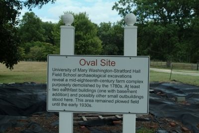
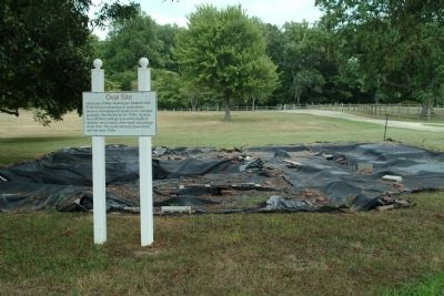
Oval Site
Topics. This historical marker is listed in this topic list: Colonial Era.
Location. 38° 8.964′ N, 76° 50.376′ W. Marker is in Stratford, Virginia, in Westmoreland County. Marker can be reached from Great House Road, 0.3 miles north of Stratford Hall Road. The marker is on the grounds of Stratford Hall Plantation, the birthplace of Robert E. Lee. This historic site is open to the public, for a fee. Touch for map. Marker is in this post office area: Stratford VA 22558, United States of America. Touch for directions.
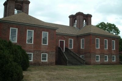
Other nearby markers. At least 8 other markers are within walking distance of this marker. Stratford Hall (about 500 feet away, measured in a direct line); American Indians at Stratford (approx. ¼ mile away); Slave Cemetery (approx. 0.3 miles away); a different marker also named Slave Cemetery (approx. 0.3 miles away); To Keep in Perpetual Remembrance the Name of Thomas Lee (approx. half a mile away); a different marker also named Stratford Hall (approx. half a mile away); Burrell Eskridge and His Son Vernon Eskridge (approx. half a mile away); Clifts Plantation Burial Ground (approx. 0.7 miles away). Touch for a list and map of all markers in Stratford.
Also see . . . Stratford Hall. (Submitted on August 15, 2010, by Paul Jordan of Burlington, N. C., U. S. A..)
Credits. This page was last revised on June 16, 2016. It was originally submitted on August 15, 2010, by Paul Jordan of Burlington, N. C., U. S. A.. This page has been viewed 637 times since then and 17 times this year. Photos: 1, 2, 3, 4. submitted on August 15, 2010, by Paul Jordan of Burlington, N. C., U. S. A.. • Bill Pfingsten was the editor who published this page.


