
Sweet Springs in Monroe County, West Virginia — The American South (Appalachia)
Governor John Floyd
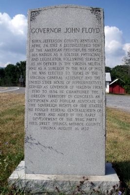
Photographed by Bernard Fisher, August 13, 2010
1. Governor John Floyd Marker
Topics. This historical marker is listed in these topic lists: Government & Politics • War of 1812. A significant historical month for this entry is April 1675.
Location. 37° 37.597′ N, 80° 14.785′ W. Marker is in Sweet Springs, West Virginia, in Monroe County. It is at the intersection of Sweet Springs Valley Road (West Virginia Route 3) and Kanawha Trail ( Route 311), in the median on Sweet Springs Valley Road. Touch for map. Marker is in this post office area: Gap Mills WV 24941, United States of America. Touch for directions.

Regionally, this marker is in the Southern Coalfields. It is also in the American South, specifically in the Upper South, in Appalachia, and specifically in Southern Appalachia. Globally, it is in North America, the Western Hemisphere, the Western World, and the Anglosphere. Historically, it finds itself in what was once the territory of the Mississippian Culture.
Other nearby markers. At least 8 other markers are within 5 miles of this marker, measured as the crow flies: Rowan Memorial Home (a few steps from this marker); Gov. John Floyd (a few steps from this marker); West Virginia / Monroe County (a
this page online
Another marker is no longer nearby. Craig County / West Virginia (was approx. 1.4 miles away in Virginia but has been confirmed missing).

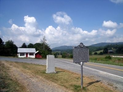
Photographed by Bernard Fisher, August 13, 2010
3. Governor John Floyd Markers
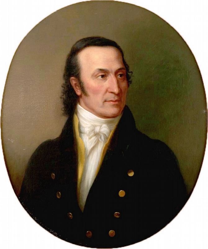
Library of Virginia
4. Governor John Floyd
Painted between 1846 and 1873 by William Garl Brown
Credits. This page was last revised on April 28, 2026. It was originally submitted on August 16, 2010, by Bernard Fisher of Richmond, Virginia. This page has been viewed 774 times since then and 34 times this year. Photos: 1. submitted on August 16, 2010, by Bernard Fisher of Richmond, Virginia. 2. submitted on April 28, 2026, by Devry Becker Jones of Washington, District of Columbia. 3. submitted on August 16, 2010, by Bernard Fisher of Richmond, Virginia. 4. submitted on September 7, 2020, by Allen C. Browne of Silver Spring, Maryland.
