Sweet Springs in Monroe County, West Virginia — The American South (Appalachia)
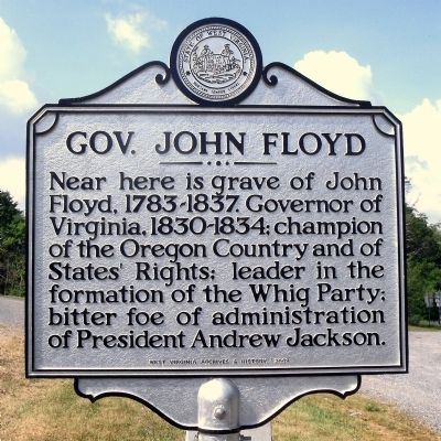
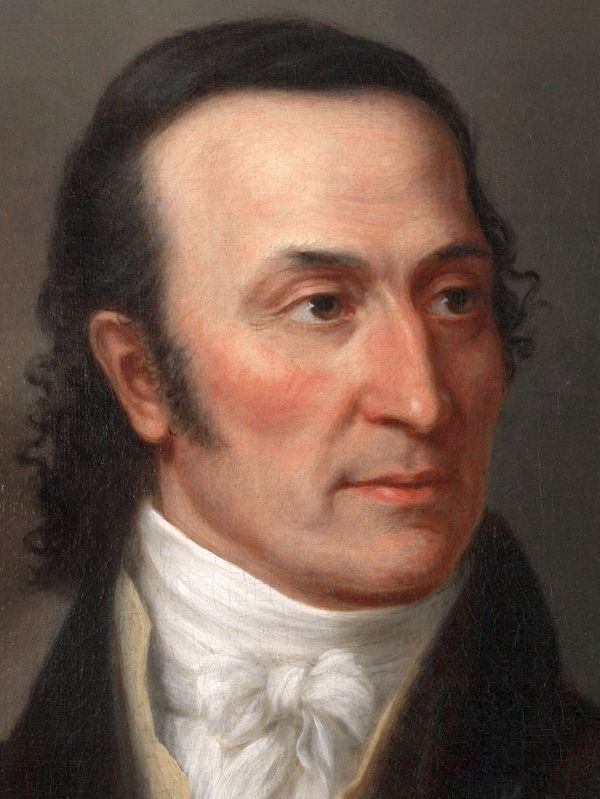
Gov. John Floyd
Erected 2008 by West Virginia Archives & History.
Topics and series. This historical marker is listed in these topic lists: Cemeteries & Burial Sites • Government & Politics. In addition, it is included in the Former U.S. Presidents: #07 Andrew Jackson, and the West Virginia Archives and History series lists.
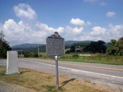
Location. 37° 37.601′ N, 80° 14.779′ W. Marker is in Sweet Springs, West Virginia, in Monroe County. Marker is at the intersection of Sweet Springs Valley Road (West Virginia Route 3) and Kanawha Trail (West Virginia Route 311), in the median on Sweet Springs Valley Road. Touch for map. Marker is in this post office area: Gap Mills WV 24941, United States of America. Touch for directions.
Other nearby markers. At least 8 other markers are within 11 miles of this marker, measured as the crow flies. Rowan Memorial Home (here, next to this marker); Governor John Floyd (a few steps from this marker); Ann Royall / Sweet Springs (approx. 0.3 miles away); Great Eastern Divide (approx. 5.4 miles away); Andrew S. Rowan (approx. 10.1 miles away); William J. Humphreys / Gap Mills (approx. 10.1 miles away); Greenbrier County / Virginia (approx. 10.6 miles away); Alleghany County Va. / West Virginia (approx. 10.6 miles away in Virginia). Touch for a list and map of all markers in Sweet Springs.
Credits. This page was last revised on September 8, 2020. It was originally submitted on August 16, 2010, by Bernard Fisher of Richmond, Virginia. This page has been viewed 662 times since then and 15 times this year. Photos: 1, 2. submitted on August 16, 2010, by Bernard Fisher of Richmond, Virginia. 3. submitted on September 7, 2020, by Allen C. Browne of Silver Spring, Maryland.


