Near Franklin in Pendleton County, West Virginia — The American South (Appalachia)
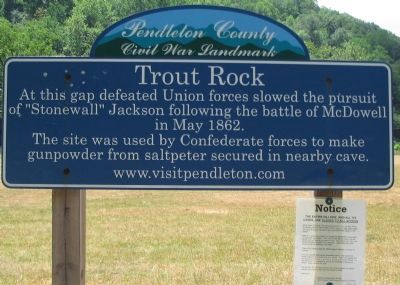
Trout Rock
Pendleton County Civil War Landmark
Topics. This historical marker is listed in this topic list: War, US Civil. A significant historical month for this entry is May 1862.
Location. Marker has been permanently removed. It was located near 38° 36.196′ N, 79° 22.265′ W. Marker was near Franklin, West Virginia, in Pendleton County. Marker was on U.S. 220, 0.1 miles east of Powder Mill Road (County Route 220/8), on the right when traveling east. Touch for map. Marker was in this post office area: Franklin WV 26807, United States of America.
We have been informed that this sign or monument is no longer there and will not be replaced. This page is an archival view of what was.
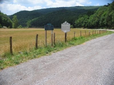
Other nearby markers. At least 8 other markers are within 4 miles of this location, measured as the crow flies. Trout Rock Fort (here, next to this marker); Destruction of Saltpeter Works (a few steps from this marker); Jackson's Prayer Service (approx. 1.7 miles away); Devonian Shale (approx. 1.9 miles away); Civil War Soldiers Monument (approx. 3.4 miles away); McCoy House (approx. 3.4 miles away); Pendleton County World War I Memorial (approx. 3.4 miles away); Pendleton County Court House (approx. 3.4 miles away). Touch for a list and map of all markers in Franklin.
Credits. This page was last revised on January 5, 2019. It was originally submitted on August 17, 2010, by Craig Swain of Leesburg, Virginia. This page has been viewed 1,115 times since then and 32 times this year. Photos: 1, 2, 3. submitted on August 17, 2010, by Craig Swain of Leesburg, Virginia.


