Chandler in Maricopa County, Arizona — The American Mountains (Southwest)
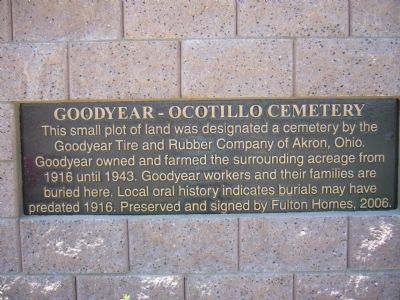
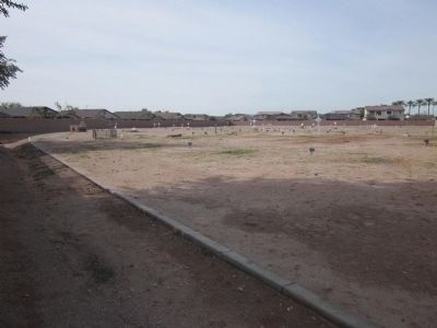
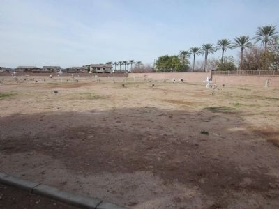
Goodyear – Ocotillo Cemetery
Erected 2006 by Fulton Homes.
Topics. This historical marker is listed in this topic list: Cemeteries & Burial Sites. A significant historical year for this entry is 1916.
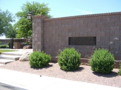
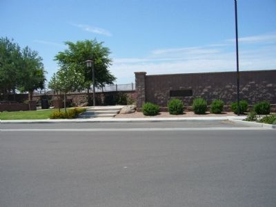
Location. 33° 14.167′ N, 111° 50.883′ W. Marker is in Chandler, Arizona, in Maricopa County. Marker is on South Iowa Street, 0.1 miles south of Fulton Ranch Blvd., on the right when traveling south. Touch for map. Marker is in this post office area: Chandler AZ 85248, United States of America. Touch for directions.
Other nearby markers. At least 8 other markers are within 5 miles of this marker, measured as the crow flies. Arizona Cotton Land (here, next to this marker); The McCormick Building (approx. 4.6 miles away); First National Bank, 1918 (approx. 4.6 miles away); Hotel Chandler (approx. 4.6 miles away); Historic A. J. Chandler Park / The Chandler District Honor Roll (approx. 4.6 miles away); Anderson Building (approx. 4.6 miles away); Price Building (approx. 4.6 miles away); Dougherty Building (approx. 4.6 miles away). Touch for a list and map of all markers in Chandler.
Credits. This page was last revised on June 16, 2016. It was originally submitted on August 18, 2010, by Bill Kirchner of Tucson, Arizona. This page has been viewed 2,355 times since then and 167 times this year. Photos: 1, 2, 3. submitted on August 18, 2010, by Bill Kirchner of Tucson, Arizona. 4, 5. submitted on December 28, 2013, by Syd Whittle of Mesa, Arizona. • Syd Whittle was the editor who published this page.
