Stratford in Westmoreland County, Virginia — The American South (Mid-Atlantic)
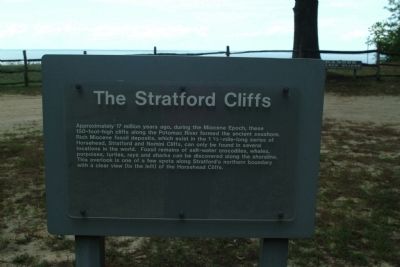
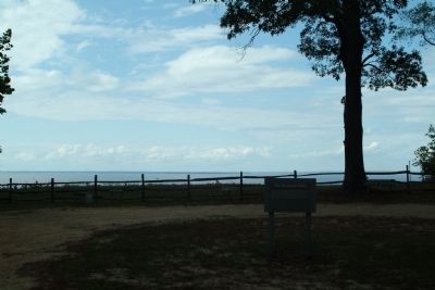
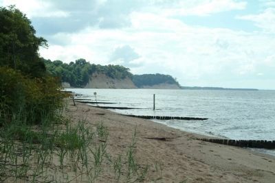
The Stratford Cliffs
Topics. This historical marker is listed in this topic list: Paleontology.
Location. 38° 9.762′ N, 76° 50.164′ W. Marker is in Stratford, Virginia, in Westmoreland County. Marker can be reached from Stratford Hall Road (State Highway 214), on the left when traveling east. The marker is on the grounds of Stratford Hall Plantation, the birthplace of Robert E. Lee. The site is open to the public, for a fee. Touch for map. Marker is in this post office area: Stratford VA 22558, United States of America. Touch for directions.
Other nearby markers. At least 8 other markers are within walking distance of this marker. The Landing: Gateway to the World (approx. ¼ mile away); Stratford Landing: Significant Events (approx. ¼ mile away); Clifts Plantation Site (approx. ¼ mile away); The Stratford Mill (approx. ¼ mile away); Clifts Plantation Burial Ground (approx. ¼ mile away); Controlling the Water Supply to the Mill (approx. ¼ mile away); American Indians at Stratford (approx. 0.7 miles away); Slave Cemetery (approx. 0.8 miles away). Touch for a list and map of all markers in Stratford.
Also see . . . Stratford Hall Historic Site. Includes information on the site with links to additional information. (Submitted on August 18, 2010, by Paul Jordan of Burlington, N. C., U. S. A..)
Credits. This page was last revised on June 16, 2016. It was originally submitted on August 18, 2010, by Paul Jordan of Burlington, N. C., U. S. A.. This page has been viewed 1,126 times since then and 28 times this year. Last updated on August 19, 2010, by Paul Jordan of Burlington, N. C., U. S. A.. Photos: 1, 2, 3. submitted on August 18, 2010, by Paul Jordan of Burlington, N. C., U. S. A.. • Syd Whittle was the editor who published this page.


