Riverton in Salt Lake County, Utah — The American Mountains (Southwest)
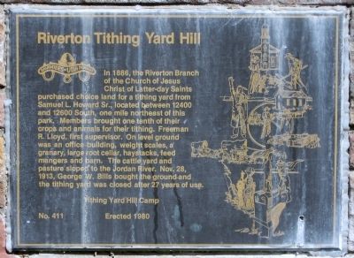
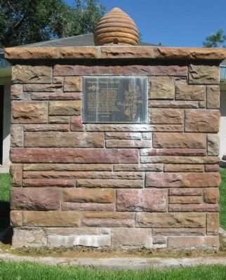
Riverton Tithing Yard Hill
Erected 1980 by Tithing Yard Hill Camp, Daughters of Utah Pioneers. (Marker Number 411.)
Topics and series. This historical marker is listed in these topic lists: Agriculture • Charity & Public Work • Churches & Religion. In addition, it is included in the Daughters of Utah Pioneers series list. A significant historical date for this entry is October 28, 1795.
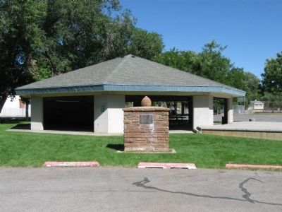
Location. 40° 31.193′ N, 111° 56.008′ W. Marker is in Riverton, Utah, in Salt Lake County. Marker can be reached from South 1500 West, on the right when traveling north. Marker is located within the Riverton City Park. Touch for map. Marker is at or near this postal address: 12700 South 1500 West, Riverton UT 84065, United States of America. Touch for directions.
Other nearby markers. At least 8 other markers are within 3 miles of this marker, measured as the crow flies. Early Riverton and the Magnificent Dome Church (within shouting distance of this marker); War Memorial (approx. 1.9 miles away); Wardle Fields Regional Park (approx. 2.1 miles away); Early Settlers of Bluffdale (approx. 2.3 miles away); South Jordan Cemetery (approx. 2.7 miles away); South Jordan Settlement (approx. 2.7 miles away); 1938 School Bus/Train Accident Memorial (approx. 2.7 miles away); Rockwell Station (approx. 2.8 miles away).
Also see . . . History of Riverton and the Tithing Yard. Early in Riverton's history, a branch of the Church of Jesus Christ of Latter-Day Saints was organized. Nicholas T. Silcock was named as the first branch president in 1870. In 1879 a meetinghouse was constructed of adobe brick on 1300 West at 13150 South. This building also served as a schoolhouse and a community meeting place for the small town. It was a large one-room structure which was later used as a blacksmith shop. Afterward it was remodeled and converted into a home. (Submitted on August 26, 2010.)
Credits. This page was last revised on June 16, 2016. It was originally submitted on August 21, 2010, by Jack Duffy of West Jordan, Utah. This page has been viewed 1,561 times since then and 72 times this year. Photos: 1, 2, 3. submitted on August 21, 2010, by Jack Duffy of West Jordan, Utah. • Syd Whittle was the editor who published this page.


