Near Winneconne in Winnebago County, Wisconsin — The American Midwest (Great Lakes)
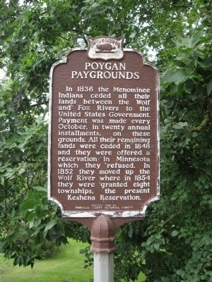
Poygan Paygrounds
In 1836 the Menominee Indians ceded all their lands between the Wolf and Fox Rivers to the United States Government. Payment was made every October, in twenty annual installments, on these grounds. All their remaining lands were ceded in 1848 and they were offered a reservation in Minnesota which they refused. In 1852 they moved up the Wolf River where in 1854 they were granted eight townships, the present Keshena Reservation.
Erected 1956 by Winnebago County Historical Society. (Marker Number 48.)
Topics and series. This historical marker is listed in this topic list: Native Americans. In addition, it is included in the Wisconsin Historical Society series list. A significant historical year for this entry is 1836.
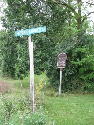
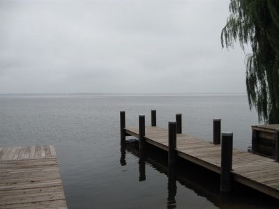
Location. 44° 7.352′ N, 88° 50.47′ W. Marker is near Winneconne, Wisconsin, in Winnebago County. Marker is at the intersection of County Road B and Poygan Shores Lane, on the right when traveling west on County Road B. Marker is near a Lake Poygan boat landing. Touch for map. Marker is at or near this postal address: 8816 Poygan Shores Lane, Winneconne WI 54986, United States of America. Touch for directions.
Other nearby markers. At least 8 other markers are within 10 miles of this marker, measured as the crow flies. Little House (approx. 6.1 miles away); Omro Veterans Memorial (approx. 7.7 miles away); Historic Omro (approx. 7.7 miles away); Omro Cemetery (approx. 8.2 miles away); The Auroraville Fountain (approx. 8.9 miles away); Samuel N. Rogers, Sr. (approx. 9.3 miles away); Old Wolf River Crossing (approx. 9˝ miles away); Butte des Morts (approx. 9˝ miles away).
Also see . . . Town of Poygan - History. Town website entry:
"...over 2000 encamped Menominee, including women, children, and the elderly, along with all of their meager possessions, were ordered to canoe out of Poygan and travel up the Wolf River to their new wilderness lands." (Submitted on August 22, 2010.)
Credits. This page was last revised on July 17, 2023. It was originally submitted on August 22, 2010, by Keith L of Wisconsin Rapids, Wisconsin. This page has been viewed 1,462 times since then and 56 times this year. Photos: 1, 2, 3. submitted on August 22, 2010, by Keith L of Wisconsin Rapids, Wisconsin.


