Near Henrico in Henrico County, Virginia — The American South (Mid-Atlantic)
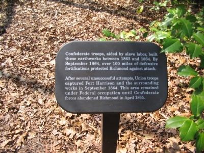
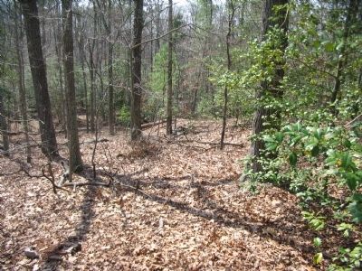
Confederate Trenches
After several unsuccessful attempts, Union troops captured Fort Harrison and the surrounding works in September 1864. This area remained under Federal occupation until Confederate forces abandoned Richmond in April 1865.
Topics. This historical marker is listed in this topic list: War, US Civil. A significant historical month for this entry is April 1865.
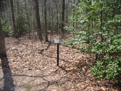
Location. 37° 25.54′ N, 77° 22.38′ W. Marker is near Henrico, Virginia, in Henrico County. Marker can be reached from Battlefield Park Road, on the right when traveling south. Marker is located on the walking trail in the Fort Harrison Unit of Richmond National Battlefield Park. Touch for map. Marker is in this post office area: Henrico VA 23231, United States of America. Touch for directions.
Other nearby markers. At least 8 other markers are within walking distance of this marker. Bombproof and Casemate (within shouting distance of this marker); Bombproof (within shouting distance of this marker); The Fort Parapet (within shouting distance of this marker); Union Entrenchments (within shouting distance of this marker); The Killing Fields (within shouting distance of this marker); Grant Under Fire (about 300 feet away, measured in a direct line); Well (about 300 feet away); "The Big Guns Spoke" (about 400 feet away). Touch for a list and map of all markers in Henrico.
Also see . . . Battlefield Tour - Ft Gilmer to Ft Brady. Richmond National Battlefield Park website. (Submitted on August 22, 2010, by Craig Swain of Leesburg, Virginia.)
Credits. This page was last revised on June 16, 2016. It was originally submitted on August 22, 2010, by Craig Swain of Leesburg, Virginia. This page has been viewed 807 times since then and 49 times this year. Photos: 1, 2, 3. submitted on August 22, 2010, by Craig Swain of Leesburg, Virginia.


