Near Blacksburg in Cherokee County, South Carolina — The American South (South Atlantic)
Route of March
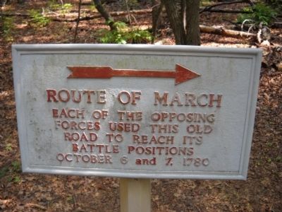
Photographed by Bill Coughlin, August 5, 2010
1. Route of March Marker
Each of the opposing
forces used this old
road to reach its
battle positions
October 6 and 7, 1780
Topics. This historical marker is listed in this topic list: War, US Revolutionary. A significant historical month for this entry is October 1919.
Location. 35° 8.926′ N, 81° 23.367′ W. Marker is near Blacksburg, South Carolina, in Cherokee County. It is on Battleground Drive, on the left when traveling south. Marker is on the approach road to King's National Military Park. Touch for map. Marker is in this post office area: Blacksburg SC 29702, United States of America. Touch for directions.

Regionally, this marker is in Upstate and in the Foothills. It is also in the American South, specifically in the Deep South, in Appalachia, and specifically in Southern Appalachia. Globally, it is in North America, the Western Hemisphere, the Western World, and the Anglosphere. Historically, it finds itself in what was once the original Cherokee Nation, the territory of the Mississippian Culture, one of the original Thirteen Colonies, one of the Confederate States of America, and the Antebellum South.
Other nearby markers. At least
this page online
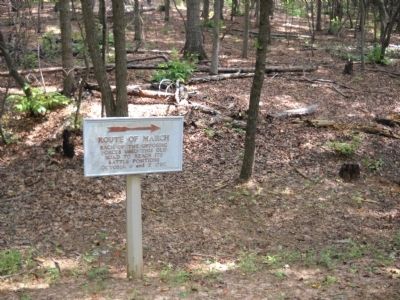
Photographed by Bill Coughlin, August 5, 2010
2. Route of March Marker
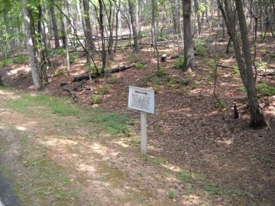
Photographed by Bill Coughlin, August 5, 2010
3. Marker in King’s Mountain NMP
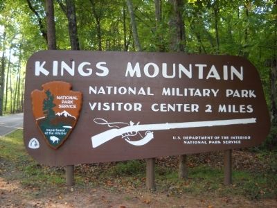
Photographed by Bill Coughlin, August 5, 2010
4. King’s Mountain National Military Park
The marker is located on the entrance road to King’s Mountain National Military Park.
Credits. This page was last revised on November 2, 2020. It was originally submitted on August 22, 2010, by Bill Coughlin of Woodland Park, New Jersey. This page has been viewed 838 times since then and 22 times this year. Photos: 1, 2, 3, 4. submitted on August 22, 2010, by Bill Coughlin of Woodland Park, New Jersey.
